Cambridge
Cambridge/25/02454/S73
Plot 5000 Cambridge Research Park Beach Drive Landbeach Cambridgeshire
- Reference
- Cambridge/25/02454/S73
- Authority
- Cambridge
- Application type
- S
- Address
- Plot 5000 Cambridge Research Park Beach Drive Landbeach Cambridgeshire
- Status
- Decided
- Decision
- Granted Permission
- Received
- 23 Jun 2025
- Validated
- 23 Jun 2025
- Started
- 23 Jun 2025
- Decided
- 19 Sept 2025
- Source council
- Cambridge
- Council source record
- View public record
- Public data licence
- Open Government Licence v3.0
- Record updated
- 6 Aug 2026
- SEO index generated
- 7 Aug 2026
Location
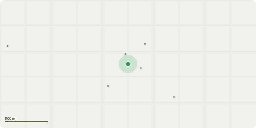
Approximate location
Proposal
S73 to vary condition 2 (Approved plans) and the discharge of conditions 3 (Hard and soft Landscape scheme), 5 (Tree Pits) and 7 (External surface Materials) of reserved matters application 21/05624/REM (Reserved Matters application (Access from Beech Road, Appearance, Landscaping, Layout and Scale) for the erection of 8,400m2 of mixed offices, research and development, light industrial, general industrial, storage and distribution, pursuant to outline planning consent S/4615/18/OL) Additional fire exit doors added to units 10 & 11 on loading door elevation, Landscape design amended to widen and enhance the pedestrian access off Beech Drive between units 10 & 11 and its connection to a new proposed landscaped amenity feature at the centre of the site between units 10 & 13 to strengthen the green link and Elevations of each building enhanced with timber boarding feature.
Key dates
- Received 23 Jun 2025
- Validated 23 Jun 2025
- Started 23 Jun 2025
- Decided 19 Sept 2025
Planning history / related applications
No related planning applications have been identified in the current public OGL dataset.
Inside plotEdge
Go beyond the public record
This page is the public OGL record. plotEdge adds the private intelligence layer for this site - open it in the app to unlock:
- Ownership & title Registered owner and title from HM Land Registry.
- Viability & build potential Site scoring and development upside.
- Constraints Flood risk, green belt, conservation areas and designations.
- Approval signal Planning risk and approval-likelihood analysis.
- Comparable applications Decisions on similar nearby sites, side by side.
- Status alerts Get notified the moment this application changes.
Source: public planning application data from Cambridge, reused under the Open Government Licence v3.0. View the council source record. Council documents and drawings are not republished on plotEdge.