Buckinghamshire
Buckinghamshire/PL/26/05399/NMA
Gomm Valley, Ashwells Reserve Site & Pimms Grove Cock Lane High Wycombe Buckinghamshire
- Reference
- Buckinghamshire/PL/26/05399/NMA
- Authority
- Buckinghamshire
- Application type
- Non-material amendment
- Address
- Gomm Valley, Ashwells Reserve Site & Pimms Grove Cock Lane High Wycombe Buckinghamshire
- Status
- Registered
- Received
- 3 Jul 2026
- Started
- 3 Jul 2026
- Source council
- Buckinghamshire
- Council source record
- View public record
- Public data licence
- Open Government Licence v3.0
- Record updated
- 6 Aug 2026
- SEO index generated
- 7 Aug 2026
Location
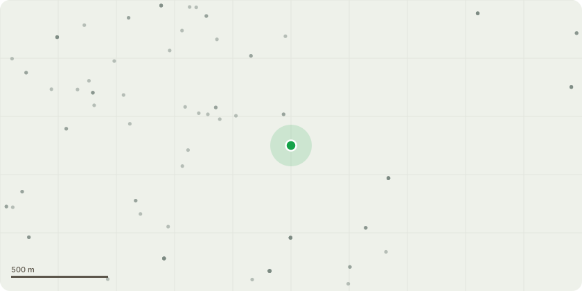
Approximate location
Proposal
Non material amendment to planning permission PL/25/2353/FA (Hybrid application consisting of a phased delivery of: full planning application for construction of 79 dwellings (Class C3) including associated vehicular access, areas of open space, ecological enhancements, hard and soft landscaping, and associated infrastructure. Outline application for 4 custom-build units within Parcel 1 and up to 461 dwellings (Class C3), a 1FE primary school and early years provision, up to 1.4 hectares of employment land to provide flexible floorspace of Class E(g), B2 and B8 uses and up to 201sq.m. of community floorspace (Class F2) within Parcels 2-8 together with ecological enhancements, green open spaces, hard and soft landscaping and associated highways and drainage infrastructure (with matters reserved as shown in the Application Boundary Plan 21020 S202) reason - 1. Retaining walls changed from gabion walls finish to timber cladded Kingpost system, 2. Alignment to some retaining walls, 3. Steps added at back of car parking spaces of plots 30 - 48, 4. Plots 3 - 6 and 56 - 59 amended from 3 bed house type (3H) to 4 bed house type (4F), 5. Plot 37 car parking space revert from M4(3) compliance to M4(2). 6. Block 1 (plots 30 - 38) changed from First Homes to Discount Market Homes
Key dates
- Received 3 Jul 2026
- Started 3 Jul 2026
Planning history / related applications
No related planning applications have been identified in the current public OGL dataset.
Inside plotEdge
Go beyond the public record
This page is the public OGL record. plotEdge adds the private intelligence layer for this site - open it in the app to unlock:
- Ownership & title Registered owner and title from HM Land Registry.
- Viability & build potential Site scoring and development upside.
- Constraints Flood risk, green belt, conservation areas and designations.
- Approval signal Planning risk and approval-likelihood analysis.
- Comparable applications Decisions on similar nearby sites, side by side.
- Status alerts Get notified the moment this application changes.
Source: public planning application data from Buckinghamshire, reused under the Open Government Licence v3.0. View the council source record. Council documents and drawings are not republished on plotEdge.