Bromsgrove
Bromsgrove/TPO24/127
Holmwood/Southcrest Woodland (Woodland Trust Site) in between Purshall Close, the cemetary and Musketts Way
- Reference
- Bromsgrove/TPO24/127
- Authority
- Bromsgrove
- Address
- Holmwood/Southcrest Woodland (Woodland Trust Site) in between Purshall Close, the cemetary and Musketts Way
- Status
- Application Granted
- Decision
- Trees Granted
- Received
- 23 Jul 2024
- Validated
- 1 Aug 2024
- Started
- 1 Aug 2024
- Decided
- 24 Sept 2024
- Source council
- Bromsgrove
- Council source record
- View public record
- Public data licence
- Open Government Licence v3.0
- Record updated
- 6 Aug 2026
- SEO index generated
- 7 Aug 2026
Location
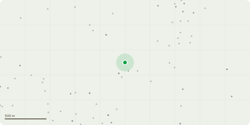
Approximate location
Proposal
We would like to coppice around 25% of the holly understorey in the wood. This will be across the whole wood but will focus on denser areas and groups that are restricting species regeneration and diminishing public access. Holly will be cut to ground level but most will likely sprout again as coppice. This will help: reduce this species dominance, diversify the structure (supporting more biodiversity generally), allow more light to reach areas of the woodland floor, increase species regeneration and diversification and, by selecting specimens that restrict public views and feelings of safety, improve public experience. All material will be left on site for habitat and other ecological benefits, with some left a large pieces and some chipped.
Key dates
- Received 23 Jul 2024
- Validated 1 Aug 2024
- Started 1 Aug 2024
- Decided 24 Sept 2024
Planning history / related applications
No related planning applications have been identified in the current public OGL dataset.
Inside plotEdge
Go beyond the public record
This page is the public OGL record. plotEdge adds the private intelligence layer for this site - open it in the app to unlock:
- Ownership & title Registered owner and title from HM Land Registry.
- Viability & build potential Site scoring and development upside.
- Constraints Flood risk, green belt, conservation areas and designations.
- Approval signal Planning risk and approval-likelihood analysis.
- Comparable applications Decisions on similar nearby sites, side by side.
- Status alerts Get notified the moment this application changes.
Source: public planning application data from Bromsgrove, reused under the Open Government Licence v3.0. View the council source record. Council documents and drawings are not republished on plotEdge.