Bromsgrove
Bromsgrove/26/01000/CPE
Livery Adj To Monsieurs Hall Farm Monsieurs Hall Lane Park Gate Worcestershire B61 9AH
- Reference
- Bromsgrove/26/01000/CPE
- Authority
- Bromsgrove
- Application type
- CPE
- Address
- Livery Adj To Monsieurs Hall Farm Monsieurs Hall Lane Park Gate Worcestershire B61 9AH
- Postcode
- B61 9AH
- Status
- Pending Consideration
- Received
- 28 Sept 2026
- Started
- 28 Sept 2026
- Source council
- Bromsgrove
- Council source record
- View public record
- Public data licence
- Open Government Licence v3.0
- Record updated
- 6 Oct 2026
- SEO index generated
- 7 Oct 2026
Location
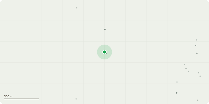
Approximate location
Proposal
This is a private livery business in continual and uninterrupted operation by the applicant since 2002. It is a 28 acre site, the livery has up to 11 horses (maximum) at any one time. There are 11 stables in three blocks. (5, 2 & 4) situated in a yard where the site is accessed. There are three grazing/exercising areas, two with permanent fencing. One of the areas, adjacent to Timberhonger Lane / Monsieurs Lane, is used for grazing during the winter and early spring, then used for the growing and processing of hay used to feed the horses. A manage and hay storage barn is also located on the site. Hours of use for the livery business are 07.00 to 21.00 hours. No riding lessons are undertaken. All clients are private and no public use is permitted. There is no machinery installed.Up until 2002, the site was used solely for agricultural purposes. The land and buildings, have been used by the applicant as a livery business since that time. The applicant is the sole owner of the land, buildings and business.
Key dates
- Received 28 Sept 2026
- Started 28 Sept 2026
Planning history / related applications
No related planning applications have been identified in the current public OGL dataset.
Inside plotEdge
Go beyond the public record
This page is the public OGL record. plotEdge adds the private intelligence layer for this site - open it in the app to unlock:
- Ownership & title Registered owner and title from HM Land Registry.
- Viability & build potential Site scoring and development upside.
- Constraints Flood risk, green belt, conservation areas and designations.
- Approval signal Planning risk and approval-likelihood analysis.
- Comparable applications Decisions on similar nearby sites, side by side.
- Status alerts Get notified the moment this application changes.
Source: public planning application data from Bromsgrove, reused under the Open Government Licence v3.0. View the council source record. Council documents and drawings are not republished on plotEdge.