Bromley
Bromley/26/00098/NOT
229 HIGH STREET, ORPINGTON, BR6 0JU
- Reference
- Bromley/26/00098/NOT
- Authority
- Bromley
- Application type
- Prior approval Part 20 Class AA: New dwellinghouses on detached buildings in commercial or mixed use
- Address
- 229 HIGH STREET, ORPINGTON, BR6 0JU
- Postcode
- BR6 0JU
- Status
- Decision Made
- Received
- 13 Jan 2026
- Started
- 13 Jan 2026
- Source council
- Bromley
- Council source record
- View public record
- Public data licence
- Open Government Licence v3.0
- Record updated
- 11 Aug 2026
- SEO index generated
- 12 Aug 2026
Location
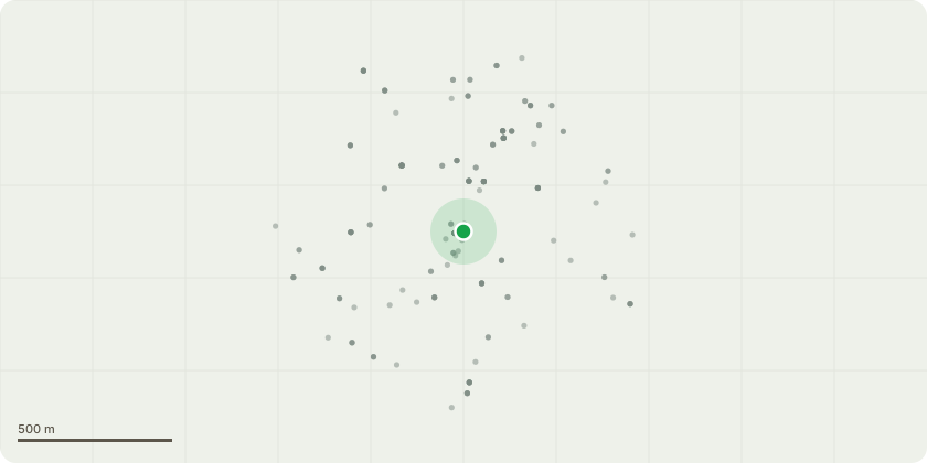
Approximate location
Proposal
Construction of upward extension to provide two additional storeys of residential flats; comprising a total of 6x flats, with associated access, parking, refuse and cycle storage. (APPLICATION UNDER SCHEDULE 2, PART 20, CLASS AA: NEW DWELLINGHOUSES ON DETACHED BUILDINGS IN COMMERCIAL OR MIXED USE: OF THE TOWN AND COUNTRY PLANNING (GENERAL PERMITTED DEVELOPMENT) (ENGLAND) ORDER 2015 (AS AMENDED) TO DETERMINE IF PRIOR APPROVAL IS REQUIRED FOR THE PROPOSED DEVELOPMENT WITH REGARDS TO TRANSPORT AND HIGHWAYS IMPACTS, AIR TRAFFIC AND DEFENCE ASSETS IMPACTS, CONTAMINATION RISKS, FLOODING RISK, EXTERNAL APPEARANCE OF THE BUILDING, PROVISION OF ADEQUATE NATURAL LIGHT TO PROPOSED HABITABLE ROOMS, IMPACT ON EXISTING AND NEIGHBOURING RESIDENTIAL AMENITIES INCLUDING OVERLOOKING,PRIVACY AND LOSS OF LIGHT, IMPACT OF COMMERCIAL NOISE ON PROPOSED RESIDENTIAL DWELLINGS, IMPACT ON THE CARRYING OUT OF TRADE, BUSINESS OR OTHER LAND USE IN THE AREA AND SITING OF THE DEVELOPMENT IMPACT ON PROTECTED VIEWS).
Key dates
- Received 13 Jan 2026
- Started 13 Jan 2026
Planning history / related applications
No related planning applications have been identified in the current public OGL dataset.
Inside plotEdge
Go beyond the public record
This page is the public OGL record. plotEdge adds the private intelligence layer for this site - open it in the app to unlock:
- Ownership & title Registered owner and title from HM Land Registry.
- Viability & build potential Site scoring and development upside.
- Constraints Flood risk, green belt, conservation areas and designations.
- Approval signal Planning risk and approval-likelihood analysis.
- Comparable applications Decisions on similar nearby sites, side by side.
- Status alerts Get notified the moment this application changes.
Source: public planning application data from Bromley, reused under the Open Government Licence v3.0. View the council source record. Council documents and drawings are not republished on plotEdge.