Bromley
Bromley/25/04127/TPO
Land east of Cottonwood Close, Orpington, BR6
- Reference
- Bromley/25/04127/TPO
- Authority
- Bromley
- Application type
- Consent under Tree Preservation Orders
- Address
- Land east of Cottonwood Close, Orpington, BR6
- Status
- Decision Made
- Received
- 29 Aug 2025
- Started
- 29 Aug 2025
- Source council
- Bromley
- Council source record
- View public record
- Public data licence
- Open Government Licence v3.0
- Record updated
- 6 Aug 2026
- SEO index generated
- 7 Aug 2026
Location
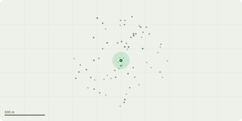
Approximate location
Proposal
1: To clear a walk way 1m wide along the boundary fence line to Arden Grove, including all trees and vegetation. In addition to clearance work, fell 1 Field maple (believed to be T1123) to near ground level as it is too close to the fence to be retained manageably. Fell single dead Willow by car park. Cutting and stacking all arisings in neat piles where possible (blue line on plan and T1123). 2: Coppice all trees on the marked line boundary to near ground level within the pond area to open up the view to the pond and allow access for reed clearance. Removal of bamboo is best done with a digger when the reeds are cleared. Some trees to be retained in this area, particularly 2 Birch trees and a Pear tree to make nice feature trees without spoiling the view moving forward (red line on plan). SUBJECT TO TPO 799 (17.7.1992)
Key dates
- Received 29 Aug 2025
- Started 29 Aug 2025
Planning history / related applications
No related planning applications have been identified in the current public OGL dataset.
Inside plotEdge
Go beyond the public record
This page is the public OGL record. plotEdge adds the private intelligence layer for this site - open it in the app to unlock:
- Ownership & title Registered owner and title from HM Land Registry.
- Viability & build potential Site scoring and development upside.
- Constraints Flood risk, green belt, conservation areas and designations.
- Approval signal Planning risk and approval-likelihood analysis.
- Comparable applications Decisions on similar nearby sites, side by side.
- Status alerts Get notified the moment this application changes.
Source: public planning application data from Bromley, reused under the Open Government Licence v3.0. View the council source record. Council documents and drawings are not republished on plotEdge.