Bristol, City of
Bristol, City of/26/14337/K
Land SW Of Long Ashton Park And Ride Off Gurney Roundabout (A370) And Colliters Way Long Ashton
- Reference
- Bristol, City of/26/14337/K
- Authority
- Bristol, City of
- Application type
- K
- Address
- Land SW Of Long Ashton Park And Ride Off Gurney Roundabout (A370) And Colliters Way Long Ashton
- Status
- Pending consideration
- Received
- 12 Oct 2026
- Started
- 12 Oct 2026
- Source council
- Bristol, City of
- Council source record
- View public record
- Public data licence
- Open Government Licence v3.0
- Record updated
- 16 Oct 2026
- SEO index generated
- 17 Oct 2026
Location
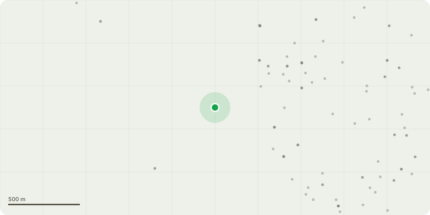
Approximate location
Proposal
Request for comment on application in adjoining authority for Section 73 application to amend application 26/P/0606/S73 (Section73 application to amend application 25/P/1496/FU2 (Hybrid planning application (full and outline elements) with Environmental Statement for the construction of new office campus (Use (Class E(g)(i)) with associated external and below ground works) to allow foramendments to the Training Centre, Culinary Centre, Office Building One and Office Building Three, both utilities buildings, the basement car park and wider access infrastructure, utilities/drainage, and site wide landscaping) to allow for amendments comprising of: Modest landform changes to the Northern Field Layout, Refinement to the Borefield layout, Refinement to the Attenuation Basin layout, Modest level adjustment to the PV Field, Minor refinement to the eastern boundary bund walls, Update to the lake and Provision of on-site security lighting.
Key dates
- Received 12 Oct 2026
- Started 12 Oct 2026
Planning history / related applications
No related planning applications have been identified in the current public OGL dataset.
Inside plotEdge
Go beyond the public record
This page is the public OGL record. plotEdge adds the private intelligence layer for this site - open it in the app to unlock:
- Ownership & title Registered owner and title from HM Land Registry.
- Viability & build potential Site scoring and development upside.
- Constraints Flood risk, green belt, conservation areas and designations.
- Approval signal Planning risk and approval-likelihood analysis.
- Comparable applications Decisions on similar nearby sites, side by side.
- Status alerts Get notified the moment this application changes.
Source: public planning application data from Bristol, City of, reused under the Open Government Licence v3.0. View the council source record. Council documents and drawings are not republished on plotEdge.