Bristol, City of
Bristol, City of/24/05145/M
LPG Storage Facility & Pipeline Severn Road Avonmouth Bristol BS11 9BE
- Reference
- Bristol, City of/24/05145/M
- Authority
- Bristol, City of
- Application type
- M
- Address
- LPG Storage Facility & Pipeline Severn Road Avonmouth Bristol BS11 9BE
- Postcode
- BS11 9BE
- Status
- Decided
- Decision
- Approve details of Reserved Matters
- Received
- 21 Feb 2025
- Validated
- 21 Feb 2025
- Started
- 21 Feb 2025
- Decided
- 29 Aug 2025
- Source council
- Bristol, City of
- Council source record
- View public record
- Public data licence
- Open Government Licence v3.0
- Record updated
- 11 Aug 2026
- SEO index generated
- 12 Aug 2026
Location
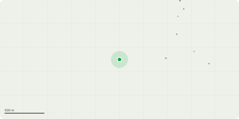
Approximate location
Proposal
Application for approval of the Reserved Matters (Siting, Appearance, Scale and Form) submitted pursuant to outline planning decision 21/04816/P (that included an EIA application and an Environmental Statement) for the construction of a twin pipeline to enable the transfer of liquid gas by pipeline rather than road from the Oil Basin at Avonmouth Docks (Port of Bristol) to the Gas Terminal at Hallen for subsequent storage and distribution. Construction of two marine loading arms and a control kiosk at the Oil Basin in Avonmouth Docks to enable sea-going tankers to be unloaded, and engineering apparatus and pipework at the Avonmouth Gas Terminal, including two additional loading bays for road tankers, and associated infrastructure.
Key dates
- Received 21 Feb 2025
- Validated 21 Feb 2025
- Started 21 Feb 2025
- Decided 29 Aug 2025
Planning history / related applications
No related planning applications have been identified in the current public OGL dataset.
Inside plotEdge
Go beyond the public record
This page is the public OGL record. plotEdge adds the private intelligence layer for this site - open it in the app to unlock:
- Ownership & title Registered owner and title from HM Land Registry.
- Viability & build potential Site scoring and development upside.
- Constraints Flood risk, green belt, conservation areas and designations.
- Approval signal Planning risk and approval-likelihood analysis.
- Comparable applications Decisions on similar nearby sites, side by side.
- Status alerts Get notified the moment this application changes.
Source: public planning application data from Bristol, City of, reused under the Open Government Licence v3.0. View the council source record. Council documents and drawings are not republished on plotEdge.