Brent
Brent/26/1745
Land Surrounding Wembley Stadium Station, South Way, Wembley (Plots SW01 and SW02)
- Reference
- Brent/26/1745
- Authority
- Brent
- Address
- Land Surrounding Wembley Stadium Station, South Way, Wembley (Plots SW01 and SW02)
- Status
- Registered
- Received
- 8 Jul 2026
- Started
- 8 Jul 2026
- Source council
- Brent
- Council source record
- View public record
- Public data licence
- Open Government Licence v3.0
- Record updated
- 6 Aug 2026
- SEO index generated
- 7 Aug 2026
Location
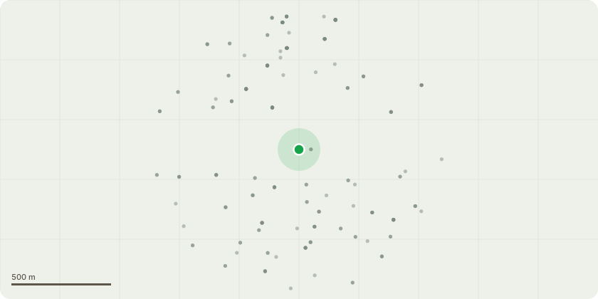
Approximate location
Proposal
Details pursuant to condition 13b (Plant Details), condition 13k ( Internal Layout of Buildings) and condition 26 (Plant Noise) of Outline Planning Permission application reference 14/4931 dated 23/12/2016 for hybrid planning application, for the redevelopment of the site to provide seven mixed use buildings up to 19 storeys in height accommodating:outline planning permission for up to a total of 75,000sqm to 85,000sqm mixed floor space including up to 67,000sqm of C3 residential accommodation (approximately 725 units); 8,000sqm to 14,000sqm for additional C3 residential accommodation, C1 hotel and/or sui generis student accommodation (an additional approximate 125 residential units; or 200-250 bed hotel; or approximate 500 student units; or approximate 35 residential units and 200 bed hotel); 1,500sqm to 3,000sqm for Classes B1/A1/A2/A3/A4/D1/D2; together with associated open space and landscaping; car parking, cycle storage, pedestrian, cycle and vehicle access; associated highway works; improvements to rear access to Neeld Parade; and associated infrastructurefull planning permission for a basement beneath Plots SW03 - SW05 to accommodate 158 car parking spaces and 9 motor cycle spaces; Building 3A within Plot SW03 to accommodate 188 residential units and 150 cycle spaces; and associated infrastructure, landscaping, open space, vehicular access and servicing and subject to a Deed of Agreement dated 23 December 2016 under Section 106 of the Town and Country Planning Act 1990, as amended
Key dates
- Received 8 Jul 2026
- Started 8 Jul 2026
Planning history / related applications
No related planning applications have been identified in the current public OGL dataset.
Inside plotEdge
Go beyond the public record
This page is the public OGL record. plotEdge adds the private intelligence layer for this site - open it in the app to unlock:
- Ownership & title Registered owner and title from HM Land Registry.
- Viability & build potential Site scoring and development upside.
- Constraints Flood risk, green belt, conservation areas and designations.
- Approval signal Planning risk and approval-likelihood analysis.
- Comparable applications Decisions on similar nearby sites, side by side.
- Status alerts Get notified the moment this application changes.
Source: public planning application data from Brent, reused under the Open Government Licence v3.0. View the council source record. Council documents and drawings are not republished on plotEdge.