Brent
Brent/26/1575
Phase 3 (Blocks J and M) - Land Former Abbey Works Estate, Wycombe Road, Wembley, HA0 1RH
- Reference
- Brent/26/1575
- Authority
- Brent
- Address
- Phase 3 (Blocks J and M) - Land Former Abbey Works Estate, Wycombe Road, Wembley, HA0 1RH
- Postcode
- HA0 1RH
- Status
- Registered
- Received
- 19 Jun 2026
- Started
- 19 Jun 2026
- Source council
- Brent
- Council source record
- View public record
- Public data licence
- Open Government Licence v3.0
- Record updated
- 11 Aug 2026
- SEO index generated
- 12 Aug 2026
Location
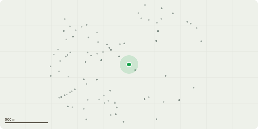
Approximate location
Proposal
Non material amendment (amend Description to state 519 homes instead of 524) of Non Material amendment application reference 25/3564 dated 28/04/2026 for Non material amendment (Amendment to Energy strategy for Phase 2A ) of Reserved matters to Outline Permission application reference 19/3674 dated 20/12/2019 for Reserved matters application pursuant to conditions 3 (Layout, Scale, Appearance, Access and Landscaping) and 2 (approved drawings and supporting documents) of hybrid planning permission 19/2732, dated 04th October 2019 for access, appearance,landscaping, layout and scale of Phase 2a comprising the construction of four buildings ranging from 8 to 18 storeys in height providing 524 homes with private communal residential landscaped gardens, basement and podium residential car parking including associated storage, cycle and car parking; health centre (Use class D1); affordable workspace (within use class B); commercial space (A1 ? A5 uses classes); associated plant, visitor car and cycle parking , refuse provision, public realm and open space, ancillary facilitating works, infrastructure and engineering works to the river bank.
Key dates
- Received 19 Jun 2026
- Started 19 Jun 2026
Planning history / related applications
No related planning applications have been identified in the current public OGL dataset.
Inside plotEdge
Go beyond the public record
This page is the public OGL record. plotEdge adds the private intelligence layer for this site - open it in the app to unlock:
- Ownership & title Registered owner and title from HM Land Registry.
- Viability & build potential Site scoring and development upside.
- Constraints Flood risk, green belt, conservation areas and designations.
- Approval signal Planning risk and approval-likelihood analysis.
- Comparable applications Decisions on similar nearby sites, side by side.
- Status alerts Get notified the moment this application changes.
Source: public planning application data from Brent, reused under the Open Government Licence v3.0. View the council source record. Council documents and drawings are not republished on plotEdge.