Brent
Brent/25/2746
Former Trinity House, Heather Park Drive, Wembley, HA0 1SU
- Reference
- Brent/25/2746
- Authority
- Brent
- Address
- Former Trinity House, Heather Park Drive, Wembley, HA0 1SU
- Postcode
- HA0 1SU
- Status
- Unknown
- Decision
- Withdrawn by Applicant
- Received
- 26 Sept 2025
- Validated
- 26 Sept 2025
- Started
- 26 Sept 2025
- Decided
- 10 Nov 2025
- Source council
- Brent
- Council source record
- View public record
- Public data licence
- Open Government Licence v3.0
- Record updated
- 11 Aug 2026
- SEO index generated
- 12 Aug 2026
Location
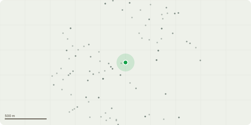
Approximate location
Proposal
Details pursuant to condition 21 (verification report in accordance with the investigation works approved under reference 22/0185) of Variation of Conditions reference 24/1414 dated 25 February, 2025, for Variation of conditions 2 (approved drawings), 26 (details of hard and soft landscaping) and 30 (number of homes) to allow for the following: erection of an additional floor providing 8 new flatsinstallation of PV panels to the roofincrease the number of cycle parking spaces from 97 to 115 of variation of conditions reference 22/3347 dated 19th September 2023 relating to Full Planning Permission reference 15/5564 dated 03/03/2020 for Demolition of the existing office building Trinity House and to construct residential units, together with onsite car parking, landscaping and amenity space (amended description), subject to Deed of Agreement dated 26 March 2020 under Section 106 of Town and Country Planning Act 1990, as amended (and subsequent Deed of Variation dated 14th October 2021, a further Deed of Variation Dated 15th June 2023 and a further Deed of Variation dated 20th of February 2025.
Key dates
- Received 26 Sept 2025
- Validated 26 Sept 2025
- Started 26 Sept 2025
- Decided 10 Nov 2025
Planning history / related applications
No related planning applications have been identified in the current public OGL dataset.
Inside plotEdge
Go beyond the public record
This page is the public OGL record. plotEdge adds the private intelligence layer for this site - open it in the app to unlock:
- Ownership & title Registered owner and title from HM Land Registry.
- Viability & build potential Site scoring and development upside.
- Constraints Flood risk, green belt, conservation areas and designations.
- Approval signal Planning risk and approval-likelihood analysis.
- Comparable applications Decisions on similar nearby sites, side by side.
- Status alerts Get notified the moment this application changes.
Source: public planning application data from Brent, reused under the Open Government Licence v3.0. View the council source record. Council documents and drawings are not republished on plotEdge.