Brent
Brent/25/2612
3 Wellers Way, Wembley, HA9 0UH
- Reference
- Brent/25/2612
- Authority
- Brent
- Address
- 3 Wellers Way, Wembley, HA9 0UH
- Postcode
- HA9 0UH
- Status
- Decided
- Decision
- Permission Granted
- Received
- 12 Sept 2025
- Validated
- 12 Sept 2025
- Started
- 12 Sept 2025
- Decided
- 14 Nov 2025
- Source council
- Brent
- Council source record
- View public record
- Public data licence
- Open Government Licence v3.0
- Record updated
- 11 Aug 2026
- SEO index generated
- 12 Aug 2026
Location
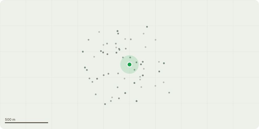
Approximate location
Proposal
Details pursuant to condition 32 (plant noise assessment) of Variation of Conditions reference 18/2214 dated 17 August, 2018, for Minor Material Amendment to vary parameter plans 04-12 and the listing of these replacement plans under revised conditions 4, 5, 15, 16 and 25 of hybrid planning permission reference 17/0328 (dated 26 May 2017) which granted minor material amendments to hybrid planning permission reference 15/5550 which comprises the demolition of existing buildings and redevelopment of the site to provide up to 420,000 sqm (gross external area) of mixed use floorspace. (See previous application record for full description of development).The minor material changes sought comprise an increase in the width of the previously approved north-south route between NW09 and NW10/NW11 and its relocation 30 metres further to the east in between NW09/NW10 and NW11, alterations to the block forms of NW09/NW10 and NW11 with an increase in height of elements of blocks NW09/10 and NW11 as a result of the updated layout, changes to car parking arrangements, introduction of bridge link connecting the landscaped gardens of NW09/10 and NW11 and other associated alterations.
Key dates
- Received 12 Sept 2025
- Validated 12 Sept 2025
- Started 12 Sept 2025
- Decided 14 Nov 2025
Planning history / related applications
No related planning applications have been identified in the current public OGL dataset.
Inside plotEdge
Go beyond the public record
This page is the public OGL record. plotEdge adds the private intelligence layer for this site - open it in the app to unlock:
- Ownership & title Registered owner and title from HM Land Registry.
- Viability & build potential Site scoring and development upside.
- Constraints Flood risk, green belt, conservation areas and designations.
- Approval signal Planning risk and approval-likelihood analysis.
- Comparable applications Decisions on similar nearby sites, side by side.
- Status alerts Get notified the moment this application changes.
Source: public planning application data from Brent, reused under the Open Government Licence v3.0. View the council source record. Council documents and drawings are not republished on plotEdge.