Brent
Brent/25/2572
1-8 INC Neville House & Neville House Garages, Neville Road, 1-64 INC Winterleys and Seahorse Day Nursery, Albert Road, 113-128 Carlton House and Carlton House Hall, Canterbury Terrace London, NW6
- Reference
- Brent/25/2572
- Authority
- Brent
- Address
- 1-8 INC Neville House & Neville House Garages, Neville Road, 1-64 INC Winterleys and Seahorse Day Nursery, Albert Road, 113-128 Carlton House and Carlton House Hall, Canterbury Terrace London, NW6
- Status
- Decided
- Decision
- Permission Granted
- Received
- 9 Sept 2025
- Validated
- 9 Sept 2025
- Started
- 9 Sept 2025
- Decided
- 24 Oct 2025
- Source council
- Brent
- Council source record
- View public record
- Public data licence
- Open Government Licence v3.0
- Record updated
- 6 Aug 2026
- SEO index generated
- 7 Aug 2026
Location
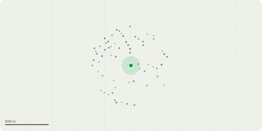
Approximate location
Proposal
Details pursuant to condition 25 (waste water network) and 26 (surface water network) of Variation of Conditions reference 23/1935 dated 31 October, 2023, for Variation of conditions 2 (approved drawings and documents), 18 (compliance with approved noise assessment), 31 (communal television system/satellite dishes), 32 (photovoltaic panel arrays on the roofs), 37 (affordable housing), 38 (private residential), 41 (landscaping including tree planting) and 43 (child play equipment) of Deemed (Regis Councils Other Development) reference 18/4920 dated 3 July, 2020, with later NMA to vary Description under reference 23/2116 for Demolition of all existing buildings and erection of a part six, nine, ten and twelve storey building arranged around a courtyard (Western Building) providing residential units and a part four, five, eight, nine and ten storey L shaped building (Eastern Building) providing residential units. The provision of a pedestrian and cycle shared surface along Neville Road, with associated cycle provision, bin stores, landscaping and ancillary works (Revised Description).
Key dates
- Received 9 Sept 2025
- Validated 9 Sept 2025
- Started 9 Sept 2025
- Decided 24 Oct 2025
Planning history / related applications
No related planning applications have been identified in the current public OGL dataset.
Inside plotEdge
Go beyond the public record
This page is the public OGL record. plotEdge adds the private intelligence layer for this site - open it in the app to unlock:
- Ownership & title Registered owner and title from HM Land Registry.
- Viability & build potential Site scoring and development upside.
- Constraints Flood risk, green belt, conservation areas and designations.
- Approval signal Planning risk and approval-likelihood analysis.
- Comparable applications Decisions on similar nearby sites, side by side.
- Status alerts Get notified the moment this application changes.
Source: public planning application data from Brent, reused under the Open Government Licence v3.0. View the council source record. Council documents and drawings are not republished on plotEdge.