Brent
Brent/25/0745
York House, Empire Way, Wembley, HA9 0PA
- Reference
- Brent/25/0745
- Authority
- Brent
- Address
- York House, Empire Way, Wembley, HA9 0PA
- Postcode
- HA9 0PA
- Status
- Decided
- Decision
- Permission Granted
- Received
- 13 Mar 2025
- Validated
- 13 Mar 2025
- Started
- 13 Mar 2025
- Decided
- 23 Jun 2025
- Source council
- Brent
- Council source record
- View public record
- Public data licence
- Open Government Licence v3.0
- Record updated
- 11 Aug 2026
- SEO index generated
- 12 Aug 2026
Location
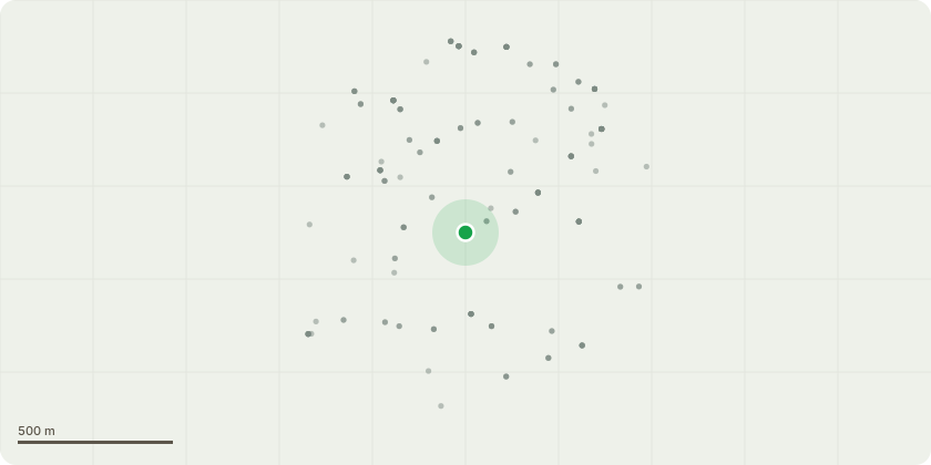
Approximate location
Proposal
Removal of conditions 2 (retail use class A1), 3 (retail floor space) and 10 (bicycle storage) relating to an extension of York House that now forms part of the London Designer Outlet and addition of new confirmatory condition to planning permission reference 13/1701 dated 23 October 2013, for:Removal of condition No. 7 (shopfronts and advertisements) of planning permission reference 11/1704 dated 28 March 2012. Planning permission reference 11/1704 was for variation of condition 11 (details of bicycle storage facilities) of Planning Permission reference 08/0827, dated 11 July 2008 for:Erection of 2-storey side and single-storey rear extensions with canopy, reconfiguration of existing car park, installation of new vehicle crossover to Stadium Way, removal of existing vehicle crossover to Empire Way, and change of use of the ground floor and first floor to include the provision of 2180m² retail (Use Class A1) floorspace and and 836m² of food and drink (Use Class A3/A4/A5) floorspace, with the restaurant/cafe and some of the retail floor space being sited at ground-floor level to the side of York House and subject to a Deed of Agreement dated 11th July 2008 under Section 106 of the Town and Country Planning Act 1990, as amended.
Key dates
- Received 13 Mar 2025
- Validated 13 Mar 2025
- Started 13 Mar 2025
- Decided 23 Jun 2025
Planning history / related applications
No related planning applications have been identified in the current public OGL dataset.
Inside plotEdge
Go beyond the public record
This page is the public OGL record. plotEdge adds the private intelligence layer for this site - open it in the app to unlock:
- Ownership & title Registered owner and title from HM Land Registry.
- Viability & build potential Site scoring and development upside.
- Constraints Flood risk, green belt, conservation areas and designations.
- Approval signal Planning risk and approval-likelihood analysis.
- Comparable applications Decisions on similar nearby sites, side by side.
- Status alerts Get notified the moment this application changes.
Source: public planning application data from Brent, reused under the Open Government Licence v3.0. View the council source record. Council documents and drawings are not republished on plotEdge.