Brent
Brent/25/0055
Ex Yellow Car Park (Plot NE01), Engineers Way (Land to the East of Rutherford Way, North of Engineers Way and South of Fulton Road) Wembley
- Reference
- Brent/25/0055
- Authority
- Brent
- Address
- Ex Yellow Car Park (Plot NE01), Engineers Way (Land to the East of Rutherford Way, North of Engineers Way and South of Fulton Road) Wembley
- Status
- Decided
- Decision
- Permission Granted
- Received
- 8 Jan 2025
- Validated
- 8 Jan 2025
- Started
- 8 Jan 2025
- Decided
- 4 Mar 2025
- Source council
- Brent
- Council source record
- View public record
- Public data licence
- Open Government Licence v3.0
- Record updated
- 6 Aug 2026
- SEO index generated
- 7 Aug 2026
Location
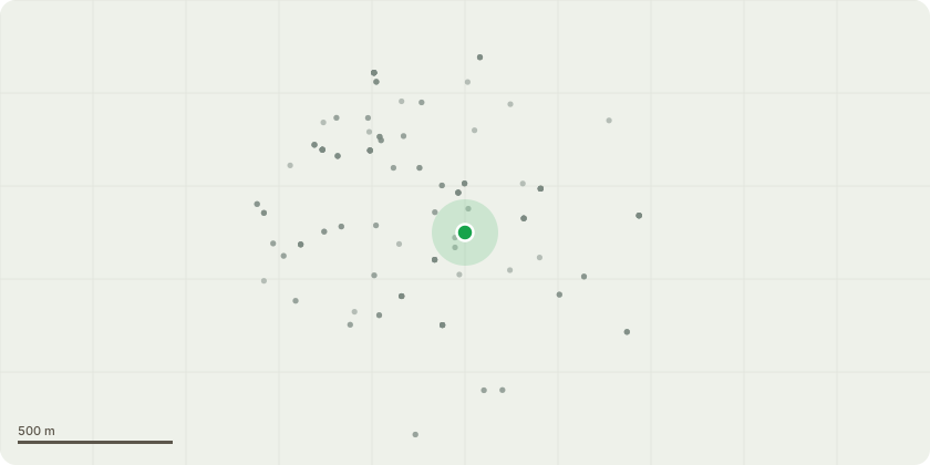
Approximate location
Proposal
Details pursuant to condition 26 (delivery and servicing plan) of variation of condition application reference 22/2886 dated 06/12/2022 for Variation of conditions application (under Section 73 of the Town and Country Planning Act 1990) to vary parameter plans 04-13 and the listing of these replacement plans under revised conditions 4, 5, 15, 16 and 25 of hybrid planning permission reference 20/2844 (dated 30 March 2021) which varied hybrid planning permission reference 18/2214 (dated 17 August 2018) which varied hybrid planning permission reference 17/0328 (dated 26 May 2017) which varied hybrid planning permission reference 15/5550 (dated 23 December 2016) for the development as described below: Hybrid planning application, accompanied by an Environmental Impact Assessment, for the redevelopment of the site including;-Full planning permission for erection of a 10-storey car park to the east of the Stadium comprising 1,816 car parking spaces of which 1,642 are for non-residential purposes, up to 82 coach parking spaces and associated infrastructure, landscaping and vehicular access.AndOutline application for the demolition of existing buildings on site and the provision of up to 420,000 sqm (gross external area) of new floorspace within a series of buildings comprising:Retail/financial and professional services/food and drink (Use Class A1 to A4) up to 21,000 sqm;Commercial (Use Class B1) up to 82,000 sqm;Hotel (Use Class C1): up to 25,000 sqm;Residential (Use Class C3): up to 350,000 sqm (up to 4,000 homes) plus up to 20,000 sqm of floorspace for internal plant, refuse, cycle stores, residential lobbies, circulation and other residential ancillary space;Education, healthcare and community facilities (Use Class D1): up to15,000 sqm;Assembly and leisure (Use Class D2): 23,000 sqm;Student accommodation (Sui Generis): Up to 90,000 sqm.And associated open space (including a new public park) and landscaping; car and coach parking (including up to 55,000 sqm of residential parking and 80,000 sqm non-residential parking) and cycle storage; pedestrian, cycle and vehicular accesses; associated highway works; and associated infrastructure including water attenuation tanks, an energy centre and the diversion of any utilities and services to accommodate the development. This application is accompanied by an Environmental Impact Assessment.
Key dates
- Received 8 Jan 2025
- Validated 8 Jan 2025
- Started 8 Jan 2025
- Decided 4 Mar 2025
Planning history / related applications
No related planning applications have been identified in the current public OGL dataset.
Inside plotEdge
Go beyond the public record
This page is the public OGL record. plotEdge adds the private intelligence layer for this site - open it in the app to unlock:
- Ownership & title Registered owner and title from HM Land Registry.
- Viability & build potential Site scoring and development upside.
- Constraints Flood risk, green belt, conservation areas and designations.
- Approval signal Planning risk and approval-likelihood analysis.
- Comparable applications Decisions on similar nearby sites, side by side.
- Status alerts Get notified the moment this application changes.
Source: public planning application data from Brent, reused under the Open Government Licence v3.0. View the council source record. Council documents and drawings are not republished on plotEdge.