Bradford
Bradford/25/04400/CPN
Abbeyfield Court Riddings Road Ilkley West Yorkshire
- Reference
- Bradford/25/04400/CPN
- Authority
- Bradford
- Application type
- CPN
- Address
- Abbeyfield Court Riddings Road Ilkley West Yorkshire
- Status
- Unknown
- Decision
- CPN Lapsed
- Received
- 21 Nov 2025
- Validated
- 21 Nov 2025
- Started
- 21 Nov 2025
- Decided
- 6 Jan 2026
- Source council
- Bradford
- Council source record
- View public record
- Public data licence
- Open Government Licence v3.0
- Record updated
- 6 Aug 2026
- SEO index generated
- 7 Aug 2026
Location
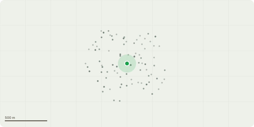
Approximate location
Proposal
One large holy tree to the rear back left corner of the property. The tree is to be removed and replaced with a hornbeam tree, This tree will be allowed to grow and is deciduous, so will let light in the flats during the winter, it will be correctly maintained.The current Holy tree has been trimmed in the past and as a result has grown that close to the building it's now blocking the light completely for two flats.The residents at the property are concerned about the rear gate being so close to the tree causing damage, and that the tree will hit the building and windows of the building causing damage very soon.The residents can see nothing but the tree from their windows, it this is starting to affect the elderly residents well being. The residents are more than happy to pay for a replacement tree and for the ongoing correct maintenance of the new tree by a skilled tree surgeon.
Key dates
- Received 21 Nov 2025
- Validated 21 Nov 2025
- Started 21 Nov 2025
- Decided 6 Jan 2026
Planning history / related applications
No related planning applications have been identified in the current public OGL dataset.
Inside plotEdge
Go beyond the public record
This page is the public OGL record. plotEdge adds the private intelligence layer for this site - open it in the app to unlock:
- Ownership & title Registered owner and title from HM Land Registry.
- Viability & build potential Site scoring and development upside.
- Constraints Flood risk, green belt, conservation areas and designations.
- Approval signal Planning risk and approval-likelihood analysis.
- Comparable applications Decisions on similar nearby sites, side by side.
- Status alerts Get notified the moment this application changes.
Source: public planning application data from Bradford, reused under the Open Government Licence v3.0. View the council source record. Council documents and drawings are not republished on plotEdge.