Bracknell Forest
Bracknell Forest/PA/2026/0715
THE BROADWAY, SANDHURST
- Reference
- Bracknell Forest/PA/2026/0715
- Authority
- Bracknell Forest
- Application type
- Consent under Tree Preservation Orders
- Address
- THE BROADWAY, SANDHURST
- Status
- Under Consultation
- Source council
- Bracknell Forest
- Council source record
- View public record
- Public data licence
- Open Government Licence v3.0
- Record updated
- 6 Aug 2026
- SEO index generated
- 7 Aug 2026
Location
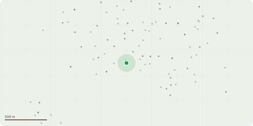
Approximate location
Proposal
T1 - 1 x Oak Tree in adjacent land to 9 Gibbons Lane (on land south of 38 The Broadway GU47 9AB) - reduce to ground level Proposed Works: Remove the suppressed oak (smallest of the three oaks). Reason for Works: The oak is heavily suppressed by the adjacent mature oak trees and neighbouring pine, resulting in poor crown development, a one-sided lateral canopy and restricted future growth potential. Ongoing competition for light, moisture and nutrients has significantly limited the tree’s ability to develop into a well-formed specimen. Due to its suppressed condition, the tree offers comparatively limited visual and arboricultural value when considered against the surrounding mature trees. Removal of the suppressed specimen would reduce competition within the group, allowing the remaining higher-quality trees to continue developing without unnecessary competition. The loss of this subordinate tree would have minimal impact on the overall amenity value of the protected tree group, as the dominant oaks and pine would continue to provide the principal landscape contribution. The tree exhibits poor form typical of long-term suppression, with an elongated stem and an unbalanced crown seeking available light. It is unlikely to develop into a high-quality mature specimen while retained beneath the existing canopy.
Planning history / related applications
No related planning applications have been identified in the current public OGL dataset.
Inside plotEdge
Go beyond the public record
This page is the public OGL record. plotEdge adds the private intelligence layer for this site - open it in the app to unlock:
- Ownership & title Registered owner and title from HM Land Registry.
- Viability & build potential Site scoring and development upside.
- Constraints Flood risk, green belt, conservation areas and designations.
- Approval signal Planning risk and approval-likelihood analysis.
- Comparable applications Decisions on similar nearby sites, side by side.
- Status alerts Get notified the moment this application changes.
Source: public planning application data from Bracknell Forest, reused under the Open Government Licence v3.0. View the council source record. Council documents and drawings are not republished on plotEdge.