Bracknell Forest
Bracknell Forest/PA/2026/0524
COPPID HALL, WARFIELD ROAD, BRACKNELL
- Reference
- Bracknell Forest/PA/2026/0524
- Authority
- Bracknell Forest
- Application type
- Consent under Tree Preservation Orders
- Address
- COPPID HALL, WARFIELD ROAD, BRACKNELL
- Status
- Under Consultation
- Source council
- Bracknell Forest
- Council source record
- View public record
- Public data licence
- Open Government Licence v3.0
- Record updated
- 6 Aug 2026
- SEO index generated
- 7 Aug 2026
Location
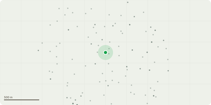
Approximate location
Proposal
TPO 1276 - Application to fell T6 Norway Maple I visited the property approximately four years ago to assess a tree that the homeowner had expressed concerns about regarding its health. At that time, the tree exhibited signs of stress, evidenced by deadwood and reaction growth, likely due to bracket fungus and adverse ground conditions, as well as prior pruning practices. Unfortunately, the tree has significantly declined since then, showing increased reaction growth and substantial deadwood, leading to the shedding of branches onto the property. Additionally, the tree's proximity to the public highway raises safety concerns. The tree has developed as a triple stem, with the central stem now completely compromised and exhibiting extensive decay. The unions where the stems connect display included bark and weak attachment. Based on the current condition of the tree, I strongly recommend its immediate removal and suggest considering replanting to enhance the area’s aesthetics and safety.
Planning history / related applications
No related planning applications have been identified in the current public OGL dataset.
Inside plotEdge
Go beyond the public record
This page is the public OGL record. plotEdge adds the private intelligence layer for this site - open it in the app to unlock:
- Ownership & title Registered owner and title from HM Land Registry.
- Viability & build potential Site scoring and development upside.
- Constraints Flood risk, green belt, conservation areas and designations.
- Approval signal Planning risk and approval-likelihood analysis.
- Comparable applications Decisions on similar nearby sites, side by side.
- Status alerts Get notified the moment this application changes.
Source: public planning application data from Bracknell Forest, reused under the Open Government Licence v3.0. View the council source record. Council documents and drawings are not republished on plotEdge.