Bracknell Forest
Bracknell Forest/PA/2026/0518
Land East of Coach Road/Cnr Forest Road, Winkfield Row, Ascot
- Reference
- Bracknell Forest/PA/2026/0518
- Authority
- Bracknell Forest
- Application type
- Consent under Tree Preservation Orders
- Address
- Land East of Coach Road/Cnr Forest Road, Winkfield Row, Ascot
- Status
- Under Consultation
- Source council
- Bracknell Forest
- Council source record
- View public record
- Public data licence
- Open Government Licence v3.0
- Record updated
- 6 Aug 2026
- SEO index generated
- 7 Aug 2026
Location
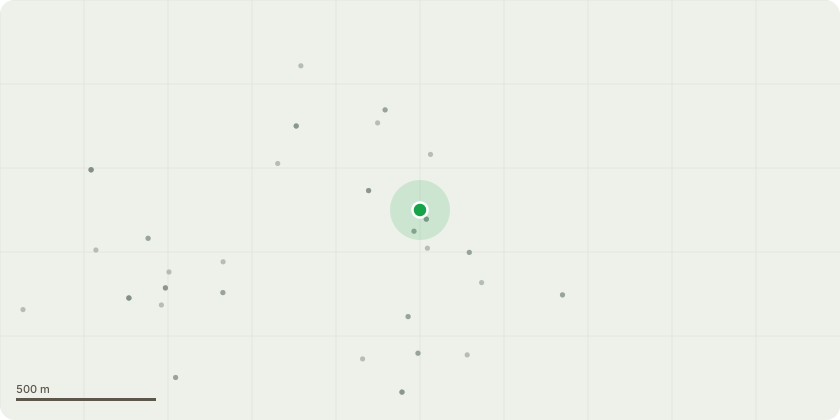
Approximate location
Proposal
TPO176 Application to prune 7 trees and fell 2 trees. T010-Situated on the northern aspect of the roadside fence. Beech bifurcates at approximately 50 cm included bark union. Western stem overextends parallel to highway. Putting pressure on union at base evidence of cracking around union. Reduce western most stem to approximately 2 m above bifurcation. T009-Tree sits on Southern aspect of ditch with ground dropping away on Northern aspect. Tree leans approximately 20° over the highway. Longitudinal split in Northern aspect approximately 0.5 m in length at 9m. Main stem has historically snapped at approximately 10 m. Reduce trees height by approximately 2 or 3m to a point below longitudinal split and back to viable growth point. T008-Beech tree. Tree sits on Southern aspect of ditch with ground dropping away on Northern aspect. Tree leans approximately 20° over the highway. Significant deadwood overhanging highway at approximately 6 m. Longitudinal split in Northern aspect approximately 0.5 m in length at 8m, due to historical branch tear. Unidentified fungal fruiting bodies emerging from the cavity. Evidence to die back in the uppermost academy. Due to this tree's location on the edge of ditch and lean over highway fungal fruiting bodies and die back in canopy. Fell to ground level. T037-Beech. Open cavity eastern aspect approximately 5 cm wide at base tapering to apex at approximately 60 cm. Significant decay within the cavity fruiting body similar in appearance to G002-2 Sweet Chestnut situated on the southern aspect of the roadside fence. Southern tree has a DBH of 51 cm. Northern Tree has a DBH of 59 cm. Southernmost tree is leaning and hung up in Northern Tree, has been struck by another falling significant tree causing instability. longitudinal stress cracks to the bark and cambium in Southern Tree. Northernmost tree leaning at approximately 20° towards the main highway. Both trees are in decline. Both trees holding significant dead wood in the canopies. Both trees have dieback in the upper canopy. Highway significant target. Reduce both trees to approximately 6 m in height. T036-Sweet Chestnut. Sweet chestnut leans at approximately 45° in a Northwesterly direction, significant stress on root plate. Target highway. Reduce main stem to 5m in height. Fell to ground level T041-Beech tree has been struck by falling scots pine on Western aspect. Abrasion marks down Western aspect of stem. Impact has caused beech to lean at approximately 30° East northeast, causing instability at the base. Canopy is hung up in sweet chestnuts to the east. Significant deadwood hung up in beech tree from fallen Scots pine increasing the weight of the canopy significantly. Reduce main stem to 4m and leave in situ as eco pole T038-Sweet Chestnut. Multi-Stem sweet chestnut, westerly stem dead. Remove Westerly stem to ground level. T034-Sweet Chestnut. Leans at approximately 45° in a Northwesterly direction, significant stress on root plate. Reduce main stem to 7 m in height.
Planning history / related applications
No related planning applications have been identified in the current public OGL dataset.
Inside plotEdge
Go beyond the public record
This page is the public OGL record. plotEdge adds the private intelligence layer for this site - open it in the app to unlock:
- Ownership & title Registered owner and title from HM Land Registry.
- Viability & build potential Site scoring and development upside.
- Constraints Flood risk, green belt, conservation areas and designations.
- Approval signal Planning risk and approval-likelihood analysis.
- Comparable applications Decisions on similar nearby sites, side by side.
- Status alerts Get notified the moment this application changes.
Source: public planning application data from Bracknell Forest, reused under the Open Government Licence v3.0. View the council source record. Council documents and drawings are not republished on plotEdge.