Bracknell Forest
Bracknell Forest/PA/2026/0459
EASTCOTE PLACE, FERNBANK ROAD, ASCOT
- Reference
- Bracknell Forest/PA/2026/0459
- Authority
- Bracknell Forest
- Application type
- Consent under Tree Preservation Orders
- Address
- EASTCOTE PLACE, FERNBANK ROAD, ASCOT
- Status
- Under Consultation
- Source council
- Bracknell Forest
- Council source record
- View public record
- Public data licence
- Open Government Licence v3.0
- Record updated
- 6 Aug 2026
- SEO index generated
- 7 Aug 2026
Location
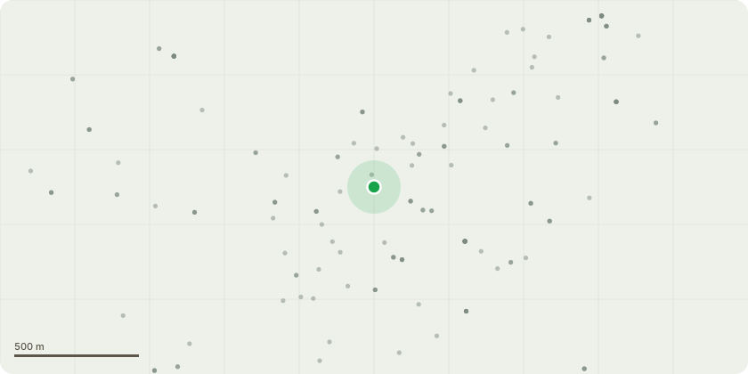
Approximate location
Proposal
(Third Party specification) WOODLAND BEYOND THE CARPARK AREA. Starting at the right-hand end when facing. Tag 724. Sweet Chestnut. Size; Large. Age; Mature. Base; Twin stemmed from the base with a poor union (possibly included). No evidence of fungal fruiting bodies. Cavity present measuring 70cm deep and covering 50% of the basal area. Stem; Two co-dominant stems with poor union. Significant decay wound on furthest stem from the building measuring 2.0 metres x 0.3 metres. This wound is likely to be connected to the basal cavity. Metal sheet engulfed in the main union. Further unions; Satisfactory. Branches; Satisfactory. Leaves; Good quality and quantity. Recommended work; Reduce to a 4 or 5 metre monolith. Timber can be stacked in the woodland as an eco-stack. Priority; Within 3 months
Planning history / related applications
No related planning applications have been identified in the current public OGL dataset.
Inside plotEdge
Go beyond the public record
This page is the public OGL record. plotEdge adds the private intelligence layer for this site - open it in the app to unlock:
- Ownership & title Registered owner and title from HM Land Registry.
- Viability & build potential Site scoring and development upside.
- Constraints Flood risk, green belt, conservation areas and designations.
- Approval signal Planning risk and approval-likelihood analysis.
- Comparable applications Decisions on similar nearby sites, side by side.
- Status alerts Get notified the moment this application changes.
Source: public planning application data from Bracknell Forest, reused under the Open Government Licence v3.0. View the council source record. Council documents and drawings are not republished on plotEdge.