Bournemouth, Christchurch and Poole
Bournemouth, Christchurch and Poole/TP/23/00251/X
Wilderton House, 2 Wilderton Road
- Reference
- Bournemouth, Christchurch and Poole/TP/23/00251/X
- Authority
- Bournemouth, Christchurch and Poole
- Application type
- Tree work to tree/s subject to a TPO
- Address
- Wilderton House, 2 Wilderton Road
- Status
- Split
- Decision
- Skip to tab content. Track this application × To subscribe and follow this planning application please provide us with your full name and email address. Name Email Subscribe Cancel Planning online
- Received
- 31 Mar 2023
- Started
- 31 Mar 2023
- Decided
- 1 Jun 2023
- Source council
- Bournemouth, Christchurch and Poole
- Council source record
- View public record
- Public data licence
- Open Government Licence v3.0
- Record updated
- 6 Aug 2026
- SEO index generated
- 7 Aug 2026
Location
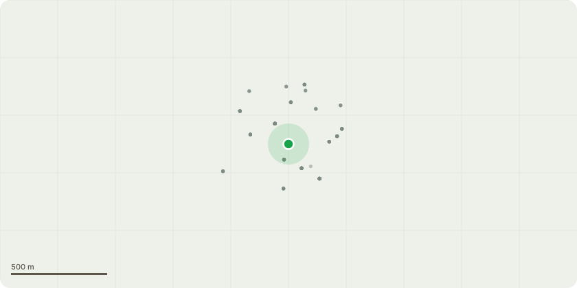
Approximate location
Proposal
See Treecall Report TP/64823/SC for details and photographs: T85 - Lawson Cypress - Prune branches to give a clearance over road of 5.2m - Subdominant stem from 1.5m grows over road. Slightly sparse crown. Branches low over road. T87 - Lawson cypress - Prune branches over road to give a clearance of 5.2m - Straight stem. Crown low over road. T89 - Lawson cypress - Prune branches over road to give a clearance of 5.2m - Stem leans to road. Branches low over road. T97 - Lawson Cypress - Fell to ground level - Bifurcates at 1.2m. Two codominant stems. Compression fork with sharp reaction growth and included bark. There is a raised risk of the tree failing at the fork and it could fall towards the road. It is reasonable management to deal with this poor-quality tree before it becomes unstable. Felling will also improve space around T99. T101 Lawson Cypress - Fell to ground level - Trunk leans to north and into crown of T59g/T99. Base of adjacent tree is pressing against base. Included bark near base. Although the fork does not appear unstable at present, the tree is at a raised risk of collapsing and could call towards the road. The adjacent tree would probably be damaged in this event. If felled now the adjacent tree can probably be retained and T59g/T103 pruned and given space to form a better-shaped crown. T103 Sweet chestnut - Prune back crown by 2m on east - Crown and upper stem lean towards west. With the removal of T101 there is an opportunity to encourage the tree to develop a more balanced crown. T109 English oak - Prune branches over road to give a clearance of 5.2m - Tree on boundary. One sided crown. Crown overhangs the road. T112 Sweet Chestnut - Prune branches over road to give a clearance of 5.2m - Sinuous stem leans to east. Crown overhangs the road.
Key dates
- Received 31 Mar 2023
- Started 31 Mar 2023
- Decided 1 Jun 2023
Planning history / related applications
No related planning applications have been identified in the current public OGL dataset.
Inside plotEdge
Go beyond the public record
This page is the public OGL record. plotEdge adds the private intelligence layer for this site - open it in the app to unlock:
- Ownership & title Registered owner and title from HM Land Registry.
- Viability & build potential Site scoring and development upside.
- Constraints Flood risk, green belt, conservation areas and designations.
- Approval signal Planning risk and approval-likelihood analysis.
- Comparable applications Decisions on similar nearby sites, side by side.
- Status alerts Get notified the moment this application changes.
Source: public planning application data from Bournemouth, Christchurch and Poole, reused under the Open Government Licence v3.0. View the council source record. Council documents and drawings are not republished on plotEdge.