Bournemouth, Christchurch and Poole
Bournemouth, Christchurch and Poole/APP/22/00477/F
Carters Quay (Former Pilkington's Tile Site), Blandford Road, Poole, BH15 4AR
- Reference
- Bournemouth, Christchurch and Poole/APP/22/00477/F
- Authority
- Bournemouth, Christchurch and Poole
- Application type
- Full Planning Permission
- Address
- Carters Quay (Former Pilkington's Tile Site), Blandford Road, Poole, BH15 4AR
- Postcode
- BH15 4AR
- Status
- Application Withdrawn Skip to tab content. Track this application × To subscribe and follow this planning application please provide us with your full name and email address. Name Email Subscribe Cancel Planning online
- Decision
- Withdrawn
- Received
- 6 Apr 2022
- Started
- 6 Apr 2022
- Decided
- 14 Apr 2023
- Source council
- Bournemouth, Christchurch and Poole
- Council source record
- View public record
- Public data licence
- Open Government Licence v3.0
- Record updated
- 11 Aug 2026
- SEO index generated
- 12 Aug 2026
Location
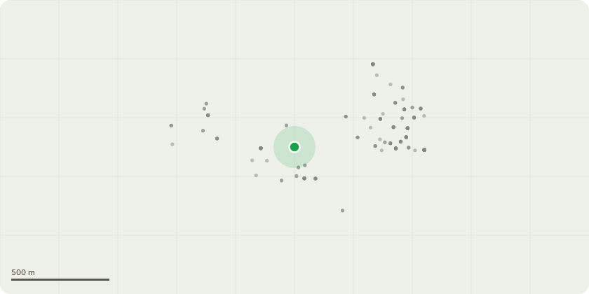
Approximate location
Proposal
Variation of condition 24 of planning permission APP/17/01043/F & APP/22/00040/F as described in that description of development for the new condition wording be altered to: (1) provide at least 20% of the energy supply of the residential dwellings from decentralised and renewable or low carbon energy sources (2) Remove reference to the now withdrawn 'Code for Sustainable Homes'. The development will provide homes compliant with current Building Regulations. (3) Omit the reference to the now defunct '16 Lifetime Homes Standards'. The development will provide homes compliant with Standard M4(1) in line with current Building Regulations. (4) BREEAM Target of 'Excellent' be replaced with 'Very Good' to be achieved for all commercial units. There is now guidance contained in BCPs Planning Policy notes (PP37-3) which state that commercial spaces with a net usable area of less than 1000m2 should target a Very Good score. All units on the development will have a net area of less than 1000m2. ***WITHDRAWN 14/04/2023***
Key dates
- Received 6 Apr 2022
- Started 6 Apr 2022
- Decided 14 Apr 2023
Planning history / related applications
No related planning applications have been identified in the current public OGL dataset.
Inside plotEdge
Go beyond the public record
This page is the public OGL record. plotEdge adds the private intelligence layer for this site - open it in the app to unlock:
- Ownership & title Registered owner and title from HM Land Registry.
- Viability & build potential Site scoring and development upside.
- Constraints Flood risk, green belt, conservation areas and designations.
- Approval signal Planning risk and approval-likelihood analysis.
- Comparable applications Decisions on similar nearby sites, side by side.
- Status alerts Get notified the moment this application changes.
Source: public planning application data from Bournemouth, Christchurch and Poole, reused under the Open Government Licence v3.0. View the council source record. Council documents and drawings are not republished on plotEdge.