Bexley
Bexley/22/01564/FULMMIN
Former Electrobase/Wheatsheaf Works Site Maxim Road Crayford Dartford Kent
- Reference
- Bexley/22/01564/FULMMIN
- Authority
- Bexley
- Application type
- FULMMIN
- Address
- Former Electrobase/Wheatsheaf Works Site Maxim Road Crayford Dartford Kent
- Status
- Granted
- Decision
- Permission Granted without Conditions
- Received
- 14 Oct 2024
- Validated
- 24 Oct 2024
- Started
- 24 Oct 2024
- Decided
- 12 Jun 2026
- Source council
- Bexley
- Council source record
- View public record
- Public data licence
- Open Government Licence v3.0
- Record updated
- 6 Aug 2026
- SEO index generated
- 7 Aug 2026
Location
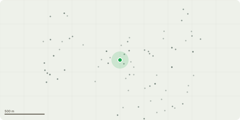
Approximate location
Proposal
Application for non-material amendments to application 22/01564/FULM (dated 28.06.2023, including amendments to external site levels and internal finished floor levels; change in energy strategy from GSHPs to ASHPs; elevational changes at roof level; changes to building façades and parapet heights; amendments to internal layouts, relocation of residential units within the scheme; relocation of and reduction in wheelchair accessible dwellings (from 62 to 58) amendments to landscaping strategy; increase in on-site BNG; swapping of public art and green wall; realignment of access; update to overheating strategy and amendments to conditions: 2 (Approved Drawings); 3 (Details); 4 (Phasing); 18 (Materials); 19 (Public Art); 21 (Soft Landscaping); 22 (Hard Landscaping); 23 (Green Roofs); 27 (Waste Management); 28 (Detailed Highway Works Stadium Way); 29 (Detailed Drawings Estate Roads); 30 (Details of Sight Lines and Pedestrian Visibility); 35 (Estate Road Management Plan); 39 (Details of Riverside Footpath); 48 (Circular Economy Statement and Operational Waste Management Strategy); 49 (Implementation of Measures to Address Overheating); 51 (Details of Renewable Energy Technologies); 53 (Detailed Surface Water Drainage Strategy); 56 (Internal FFLs); 58 (Finished Ground Levels); 60 (Scheme of Riverbank Widening, Strengthening and Ecological Enhancement Works); 61 (Details of Scheme of Gravity Drainage); 63 (Details of Services); 64 (Long-term Maintenance Plan for Southern Riverbank); 65 (Detailed Maintenance Plan for Fluvial Floodplain and River Wansunt Culvert); removal of conditions 40 (Wind Mitigation), 59 (Scheme for Phasing of Flood Risk Reduction Measures) and 66 (Scheme for Crest Level of Southern Riverbank), and insertion of additional conditions.
Key dates
- Received 14 Oct 2024
- Validated 24 Oct 2024
- Started 24 Oct 2024
- Decided 12 Jun 2026
Planning history / related applications
No related planning applications have been identified in the current public OGL dataset.
Inside plotEdge
Go beyond the public record
This page is the public OGL record. plotEdge adds the private intelligence layer for this site - open it in the app to unlock:
- Ownership & title Registered owner and title from HM Land Registry.
- Viability & build potential Site scoring and development upside.
- Constraints Flood risk, green belt, conservation areas and designations.
- Approval signal Planning risk and approval-likelihood analysis.
- Comparable applications Decisions on similar nearby sites, side by side.
- Status alerts Get notified the moment this application changes.
Source: public planning application data from Bexley, reused under the Open Government Licence v3.0. View the council source record. Council documents and drawings are not republished on plotEdge.