Bexley
Bexley/16/01287/OUTM01MIN02
Land At Binsey Walk Adjacent To Harrow Manorway London
- Reference
- Bexley/16/01287/OUTM01MIN02
- Authority
- Bexley
- Application type
- OUTMMIN
- Address
- Land At Binsey Walk Adjacent To Harrow Manorway London
- Status
- Approved
- Decision
- Details approved
- Received
- 27 Mar 2026
- Validated
- 27 Mar 2026
- Started
- 27 Mar 2026
- Decided
- 15 Jun 2026
- Source council
- Bexley
- Council source record
- View public record
- Public data licence
- Open Government Licence v3.0
- Record updated
- 6 Aug 2026
- SEO index generated
- 7 Aug 2026
Location
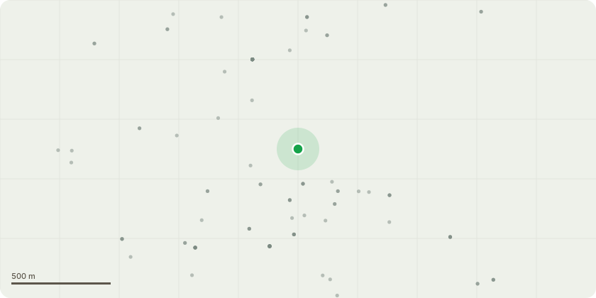
Approximate location
Proposal
Application to approve details of condition 18 (Mitigation Measures for Outward Opening Doors) pursuant to application 16/01287/OUTM01MIN for the non material amendment, (comprising the amendment of conditions and submission of revised plans) to allow the addition of a second staircase to the tower element of Block A (resulting in an increase in its footprint, elevational changes and changes to the internal layout), to approved application 16/01287/OUTM01 in respect of approval of the details of all reserved matters being landscaping, access, appearance, layout and scale in respect of the proposed development to comprise 329 residential units, informal and formal open space, internal road network; landscaping, car and cycle parking and waste storage pursuant to conditions 1(Details of reserved matters), 7(crossing facilities), 11(Visibility), 15a-c(land contamination, site investigation and remediation strategy), 18 (Flood Risk Assessment), (22 Surface Water Management), 43(Carbon emissions), 45(Waste Management Plan), 46(External Lighting Strategy) and 50(Energy strategy assessing feasibility of a site wide network) pursuant to outline planning permission 16/01287/OUTM. The parent permission being an outline application for demolition of existing buildings and hard standing, residential development of up to 329 units and up to 1,050 sq metres of commercial floorspace (with flexible uses across classes A1 - A4 (retail, financial and professional services, café and restaurants) and B1a (office) and D1 (community uses) and D2 (Boat Club), with all matters reserved, and associated works including, informal and formal open space, internal road network; landscaping; car and cycle parking; waste storage.
Key dates
- Received 27 Mar 2026
- Validated 27 Mar 2026
- Started 27 Mar 2026
- Decided 15 Jun 2026
Planning history / related applications
No related planning applications have been identified in the current public OGL dataset.
Inside plotEdge
Go beyond the public record
This page is the public OGL record. plotEdge adds the private intelligence layer for this site - open it in the app to unlock:
- Ownership & title Registered owner and title from HM Land Registry.
- Viability & build potential Site scoring and development upside.
- Constraints Flood risk, green belt, conservation areas and designations.
- Approval signal Planning risk and approval-likelihood analysis.
- Comparable applications Decisions on similar nearby sites, side by side.
- Status alerts Get notified the moment this application changes.
Source: public planning application data from Bexley, reused under the Open Government Licence v3.0. View the council source record. Council documents and drawings are not republished on plotEdge.