Bath and North East Somerset
Bath and North East Somerset/22/03276/TPO
Rockery Park, North Road, Combe Down, Bath, Bath And North East Somerset
- Reference
- Bath and North East Somerset/22/03276/TPO
- Authority
- Bath and North East Somerset
- Application type
- Tree Works subject to TPO
- Address
- Rockery Park, North Road, Combe Down, Bath, Bath And North East Somerset
- Status
- Split decision/check certificate or file
- Received
- 16 Aug 2022
- Started
- 16 Aug 2022
- Decided
- 13 Oct 2022
- Source council
- Bath and North East Somerset
- Council source record
- View public record
- Public data licence
- Open Government Licence v3.0
- Record updated
- 6 Aug 2026
- SEO index generated
- 7 Aug 2026
Location
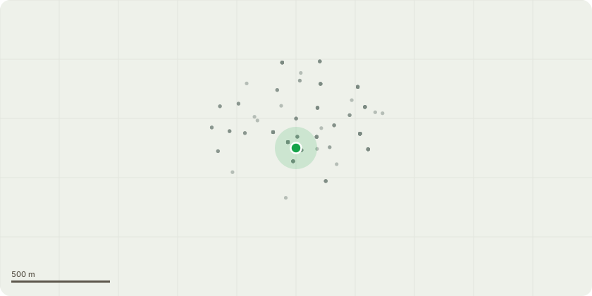
Approximate location
Proposal
G1 - In the boundary with Monkton Prep - remove 2 small ash and 2 ash saplings in the area near the parking bays; remove 3 small ash near the new tree plantings & raise canopy on sycamore over the parking to 3m; remove 1 medium ash and two saplings near the near new tree plantings; remove the limb over car parking from the medium sized ash. The work on the ash trees is in response to ash dieback and the liability of trees and parts of trees failing onto the school land and the public footpath. The ash trees are in category 2-3 conditioning which have worsened over the last 12 months of surveying their health. T2 - Copper beech - Overall prune of the beech by 2-3m to a well balanced shape and raise the canopy over the garages for 3m clearance. The tree has vigorous growth which is now impeding the parking area and the nearby buildings. Pruning will contain it in this small space. T3 - Scots pine - Remove the deadwood and clean through the canopy removing any other hazardous branches to ensure its health and longevity.
Key dates
- Received 16 Aug 2022
- Started 16 Aug 2022
- Decided 13 Oct 2022
Planning history / related applications
No related planning applications have been identified in the current public OGL dataset.
Inside plotEdge
Go beyond the public record
This page is the public OGL record. plotEdge adds the private intelligence layer for this site - open it in the app to unlock:
- Ownership & title Registered owner and title from HM Land Registry.
- Viability & build potential Site scoring and development upside.
- Constraints Flood risk, green belt, conservation areas and designations.
- Approval signal Planning risk and approval-likelihood analysis.
- Comparable applications Decisions on similar nearby sites, side by side.
- Status alerts Get notified the moment this application changes.
Source: public planning application data from Bath and North East Somerset, reused under the Open Government Licence v3.0. View the council source record. Council documents and drawings are not republished on plotEdge.