Basingstoke and Deane
Basingstoke and Deane/26/00035/RES
Manydown Key Phase 1 Land Off Roman Road And Worting Road Worting Road Basingstoke Hampshire
- Reference
- Basingstoke and Deane/26/00035/RES
- Authority
- Basingstoke and Deane
- Application type
- RES
- Address
- Manydown Key Phase 1 Land Off Roman Road And Worting Road Worting Road Basingstoke Hampshire
- Status
- Registered
- Received
- 12 Jan 2026
- Started
- 12 Jan 2026
- Source council
- Basingstoke and Deane
- Council source record
- View public record
- Public data licence
- Open Government Licence v3.0
- Record updated
- 6 Aug 2026
- SEO index generated
- 7 Aug 2026
Location
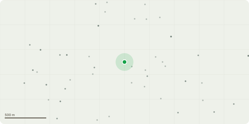
Approximate location
Proposal
Reserved Matters application pursuant to condition 9 of 17/00818/OUT for approval of details relating to access, appearance, landscaping, layout and scale for strategic public realm infrastructure in the southern part of Key Phase 1A comprising the first Neighbourhood Park and other strategic green infrastructure, including cycleways / footways, planting, areas for play, sustainable drainage features, ornamental pond, bunds and boundary treatments; the first Principal Street and Development Parcel Accesses, including street lighting, signage and bus stops; and including associated engineering and ancillary works, including ground remodelling and land reprofiling, and utilities infrastructure including alignment of service runs, location of substation, and foul and surface water drainage infrastructure. Approval of details relating to the following conditions of planning permission ref. 17/00818/OUT in respect of the strategic public realm infrastructure in the southern part of KP1A only - Condition 15 (Maintenance of Water Drainage System), Condition 28 (Materials), Condition 29 (Ground Levels), Condition 33 (Arboricultural Impact Assessment), Condition 34 (Tree Protection Scheme), Condition 35 (Tree Planting Plan), Condition 36 (Landscaping), Condition 37 (Boundary Treatments), Condition 38 (Safeguarding Trees), Condition 41 (Surface Water Drainage), and Condition 42 (Lighting for Biodiversity).
Key dates
- Received 12 Jan 2026
- Started 12 Jan 2026
Planning history / related applications
No related planning applications have been identified in the current public OGL dataset.
Inside plotEdge
Go beyond the public record
This page is the public OGL record. plotEdge adds the private intelligence layer for this site - open it in the app to unlock:
- Ownership & title Registered owner and title from HM Land Registry.
- Viability & build potential Site scoring and development upside.
- Constraints Flood risk, green belt, conservation areas and designations.
- Approval signal Planning risk and approval-likelihood analysis.
- Comparable applications Decisions on similar nearby sites, side by side.
- Status alerts Get notified the moment this application changes.
Source: public planning application data from Basingstoke and Deane, reused under the Open Government Licence v3.0. View the council source record. Council documents and drawings are not republished on plotEdge.