Basildon
Basildon/24/00959/NMABAS
Car Park 14 Laindon Link Basildon Essex
- Reference
- Basildon/24/00959/NMABAS
- Authority
- Basildon
- Application type
- NMABAS
- Address
- Car Park 14 Laindon Link Basildon Essex
- Status
- Decided
- Decision
- Granted
- Received
- 14 Aug 2024
- Validated
- 15 Aug 2024
- Started
- 15 Aug 2024
- Decided
- 4 Oct 2024
- Source council
- Basildon
- Council source record
- View public record
- Public data licence
- Open Government Licence v3.0
- Record updated
- 6 Aug 2026
- SEO index generated
- 7 Aug 2026
Location
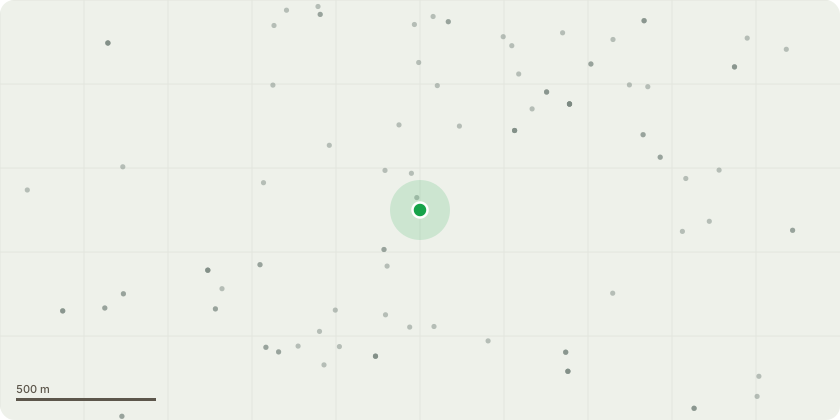
Approximate location
Proposal
To establish whether: Apartments - Acoustic Louvres omitted from elevations, Ground to First Floor Height reduced 300mm removed to reduce GF ceiling void overall building height reduced as a result, 4 course stacking soldier bond feature band reduced to 1 course at ground/first floor junction, Stacking solider course infill panels vertically between windows removed and replaced with flemish bond infill panels, Perforated sheet balustrade relaced with standard flat bar balustrade to resemble the rest of building, Brick panel between balconies dropped as railings are required to be 1.1m over the top of wall resulting in a height of 1.7m, Coloured/solid metal sheet balustrade above communal entrance door to block A/B to be replaced with standard flat bar balustrade, to match all other balustrading and increase natural light into plot, RWP hopper and horizontal connection from balcony to be added to elevation.Houses - Acoustic louvres omitted and Introduction of roof light to rear of housetypes 06,08,10 and 11.Site - Removal of backup generator shown adjacent plot 1, Plot 1 & 2 relocated 1675mm north west following removal of back up generator Single 1000kVA GRP substation can be consided as an non-material amendments to granted consent 22/01179/FULL.
Key dates
- Received 14 Aug 2024
- Validated 15 Aug 2024
- Started 15 Aug 2024
- Decided 4 Oct 2024
Planning history / related applications
No related planning applications have been identified in the current public OGL dataset.
Inside plotEdge
Go beyond the public record
This page is the public OGL record. plotEdge adds the private intelligence layer for this site - open it in the app to unlock:
- Ownership & title Registered owner and title from HM Land Registry.
- Viability & build potential Site scoring and development upside.
- Constraints Flood risk, green belt, conservation areas and designations.
- Approval signal Planning risk and approval-likelihood analysis.
- Comparable applications Decisions on similar nearby sites, side by side.
- Status alerts Get notified the moment this application changes.
Source: public planning application data from Basildon, reused under the Open Government Licence v3.0. View the council source record. Council documents and drawings are not republished on plotEdge.