Babergh
Babergh/DC/26/02596
Land Eye Airfield Castleton Way Yaxley Suffolk
- Reference
- Babergh/DC/26/02596
- Authority
- Babergh
- Address
- Land Eye Airfield Castleton Way Yaxley Suffolk
- Status
- Awaiting decision
- Received
- 19 Jun 2026
- Started
- 19 Jun 2026
- Source council
- Babergh
- Council source record
- View public record
- Public data licence
- Open Government Licence v3.0
- Record updated
- 6 Aug 2026
- SEO index generated
- 7 Aug 2026
Location
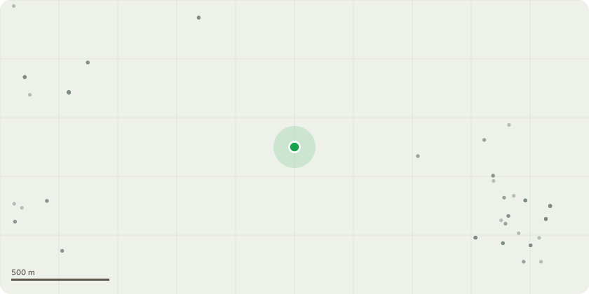
Approximate location
Proposal
Application for a Lawful Development Certificate for a Proposed Use or Development. Town and Country Planning Act 1990 (as amended) - The proposal involves removing a small section of the existing earth bank to create a secure access point, including the installation of two gate posts and a lockable gate.The proposed site measures approximately 200 metres by 25 metres, giving a total area of 5,000 square metres. It would be used for the secure parking of up to 40 empty semi-trailers.The main purpose of the proposal is to reduce unnecessary HGV mileage and the associated environmental impact. Due to the site?s location, up to four trailer movements could be completed locally in the same distance currently required for one return journey to our Stradbroke yard.This would significantly reduce fuel consumption, vehicle emissions, road mileage and the number of HGV movements through local communities. It would also improve operational efficiency while supporting the company?s wider aim of reducing its environmental impact.
Key dates
- Received 19 Jun 2026
- Started 19 Jun 2026
Planning history / related applications
No related planning applications have been identified in the current public OGL dataset.
Inside plotEdge
Go beyond the public record
This page is the public OGL record. plotEdge adds the private intelligence layer for this site - open it in the app to unlock:
- Ownership & title Registered owner and title from HM Land Registry.
- Viability & build potential Site scoring and development upside.
- Constraints Flood risk, green belt, conservation areas and designations.
- Approval signal Planning risk and approval-likelihood analysis.
- Comparable applications Decisions on similar nearby sites, side by side.
- Status alerts Get notified the moment this application changes.
Source: public planning application data from Babergh, reused under the Open Government Licence v3.0. View the council source record. Council documents and drawings are not republished on plotEdge.