Ashford
Ashford/PA/2026/0519
Land at Pound Lane, Magpie Hall Road, Bond Lane and Ashford Road, Kingsnorth, Ashford
- Reference
- Ashford/PA/2026/0519
- Authority
- Ashford
- Address
- Land at Pound Lane, Magpie Hall Road, Bond Lane and Ashford Road, Kingsnorth, Ashford
- Status
- Under Consultation
- Source council
- Ashford
- Council source record
- View public record
- Public data licence
- Open Government Licence v3.0
- Record updated
- 6 Aug 2026
- SEO index generated
- 7 Aug 2026
Location
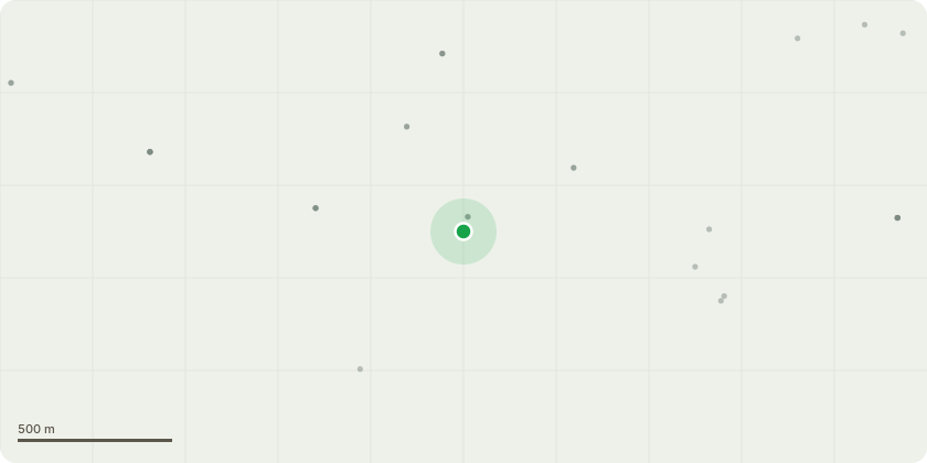
Approximate location
Proposal
Variation of conditions 3 (Approved Plans), 4 (Phasing), 11 (Bus Stops), 12 (Area 1 Access), 13 (Area 2&3 Access), 14 (Bond Lane Access), 15 (Bond Lane Works), 16 (Steeds Lane Access), 24 (Drainage), 27 (Sewerage Disposal), 28 (WwTW Details), 29 (WwTW Management Plan), 30 (WwTW Nitrogen & Phosphorous Figures), 31 (Drainage), 32 (WwTW Details), 33 (Noise & Vibration), 34 (Light), 35 (Noise) of Planning Permission 15/00856/AS. Outline application for a development comprising of up to 550 dwellings in a mix of size, type and tenure. Provision of local recycling facilities. Provision of areas of formal and informal open space. Installation of utilities, infrastructure to serve the development including flood attenuation, surface water attenuation, water supply, waste water facilities, gas supply, electricity supply (including sub-station, telecommunications infrastructure and renewable energy). Transport infrastructure including highway improvements in the vicinity of Ashford Road/Magpie Hall Road/Steeds Lane, Pound Lane and Bond Lane, plus an internal network of roads and junctions, footpaths and cycle routes. New planting and landscaping both within the proposed development and on its boundaries as well as ecological enhancement works. Associated groundworks; to allow for the removal of the Wastewater Treatment Works and Viability Review and refinement of conditions and points.
Planning history / related applications
No related planning applications have been identified in the current public OGL dataset.
Inside plotEdge
Go beyond the public record
This page is the public OGL record. plotEdge adds the private intelligence layer for this site - open it in the app to unlock:
- Ownership & title Registered owner and title from HM Land Registry.
- Viability & build potential Site scoring and development upside.
- Constraints Flood risk, green belt, conservation areas and designations.
- Approval signal Planning risk and approval-likelihood analysis.
- Comparable applications Decisions on similar nearby sites, side by side.
- Status alerts Get notified the moment this application changes.
Source: public planning application data from Ashford, reused under the Open Government Licence v3.0. View the council source record. Council documents and drawings are not republished on plotEdge.