Ashford
Ashford/OTH/2026/0142
Loudon Court, Loudon Way, Ashford
- Reference
- Ashford/OTH/2026/0142
- Authority
- Ashford
- Address
- Loudon Court, Loudon Way, Ashford
- Status
- Decision Made
- Source council
- Ashford
- Council source record
- View public record
- Public data licence
- Open Government Licence v3.0
- Record updated
- 6 Aug 2026
- SEO index generated
- 7 Aug 2026
Location
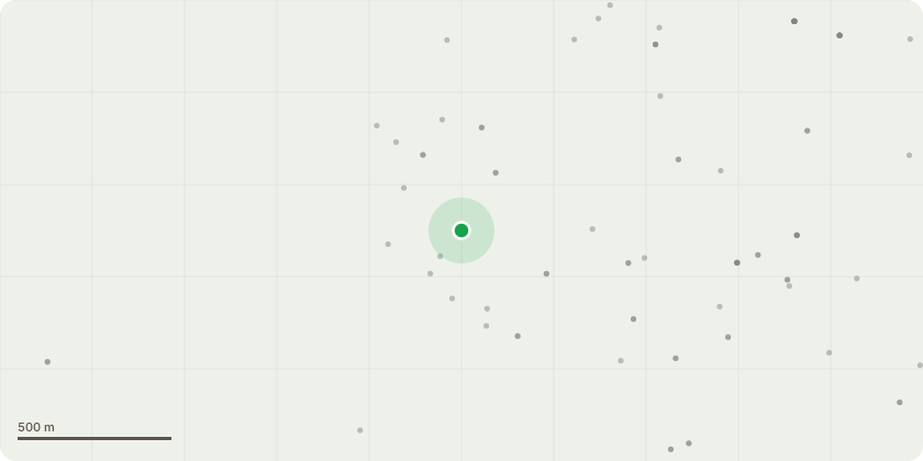
Approximate location
Proposal
T005 5972 Sweet chestnut - Reduce the western stem height to 5 metres. Reason - The tree is twin-stemmed and appears to have been historically coppiced, with minor decay present within the buttress roots. Decay was probed to a depth of approximately 150mm. Basal ivy growth restricts a full inspection of the lower stem, although the ivy in the upper crown has been severed. The western stem exhibits dieback in the upper third of the crown. T007 5974 Sweet chestnut - Reduce the crown height to 5 metres - Reason – the main stem bifurcates at approximately 4 metres in height, the upper crown on both stems is dead. T009 5976 Sweet chestnut - Remove dead stem with orange marker Reason - One stem, marked with orange spray paint, is in terminal decline. Another stem within the group has previously been reduced to approximately 6 metres in height T010 5977 Sweet chestnut - Fell as close to ground level as possible. Reason - Standing deadwood, marked with an orange spray marker. T012 5979 Sweet chestnut - Reduce the crown height to 6 metres. Reason - coppice of three stems with the upper crown dead and exhibiting bark delamination. T014 5981 Sweet chestnut - Reduce the southern stem height to 5 metres. Reason - Twin-stemmed from ground level, historically coppiced. The northern stem is in good condition with a healthy crown, while the southern stem has a dead upper crown exhibiting bark delamination. T017 5984 Sweet chestnut - Reduce the crown height to 6 metres. Reason - Single-stemmed, historically coppiced, with major deadwood present in the upper crown. T018 5985 White poplar - Reduce the crown back to the original reduction points. Reason - The compact crown is regularly maintained, showing up to 4 metres of regrowth since the previous reduction. Squirrel gnawing is evident in the lower crown. Maintain pruning regime. PLEASE NOTE: T006 has since fallen.
Planning history / related applications
No related planning applications have been identified in the current public OGL dataset.
Inside plotEdge
Go beyond the public record
This page is the public OGL record. plotEdge adds the private intelligence layer for this site - open it in the app to unlock:
- Ownership & title Registered owner and title from HM Land Registry.
- Viability & build potential Site scoring and development upside.
- Constraints Flood risk, green belt, conservation areas and designations.
- Approval signal Planning risk and approval-likelihood analysis.
- Comparable applications Decisions on similar nearby sites, side by side.
- Status alerts Get notified the moment this application changes.
Source: public planning application data from Ashford, reused under the Open Government Licence v3.0. View the council source record. Council documents and drawings are not republished on plotEdge.