Ashford
Ashford/OTH/2025/1001
Grass verge in front of 15 to 17, The Green, Woodchurch
Decision Made
- Reference
- Ashford/OTH/2025/1001
- Authority
- Ashford
- Address
- Grass verge in front of 15 to 17, The Green, Woodchurch
- Status
- Decision Made
- Source council
- Ashford
- Council source record
- View public record
- Public data licence
- Open Government Licence v3.0
- Record updated
- 6 Aug 2026
- SEO index generated
- 7 Aug 2026
Location
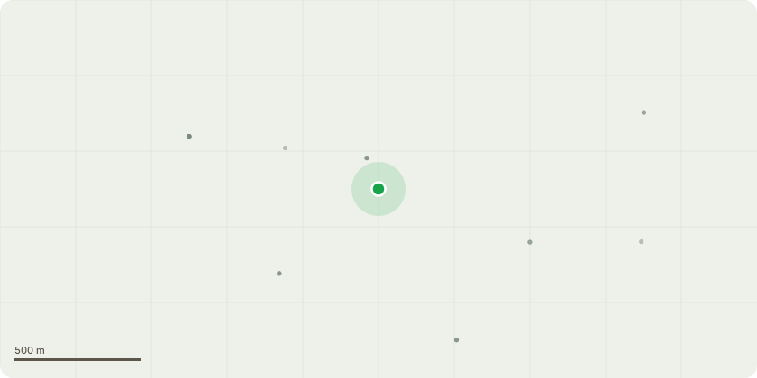
Approximate location
Proposal
Remove 2x LV overhead spans and install 2x 95ABC spans - Connect 185H to LV pole - Straight Joint 300H to 185H - Branch Joint 35H to 300H and terminate into a 100amp three phase cut-out with PME earth
Planning history / related applications
No related planning applications have been identified in the current public OGL dataset.
Inside plotEdge
Go beyond the public record
This page is the public OGL record. plotEdge adds the private intelligence layer for this site - open it in the app to unlock:
- Ownership & title Registered owner and title from HM Land Registry.
- Viability & build potential Site scoring and development upside.
- Constraints Flood risk, green belt, conservation areas and designations.
- Approval signal Planning risk and approval-likelihood analysis.
- Comparable applications Decisions on similar nearby sites, side by side.
- Status alerts Get notified the moment this application changes.
Source: public planning application data from Ashford, reused under the Open Government Licence v3.0. View the council source record. Council documents and drawings are not republished on plotEdge.