Adur
Adur/AWDM/1072/24
Union Place Car Park Union Place Worthing West Sussex
- Reference
- Adur/AWDM/1072/24
- Authority
- Adur
- Address
- Union Place Car Park Union Place Worthing West Sussex
- Status
- Decided
- Decision
- Application Permitted
- Received
- 19 Aug 2024
- Validated
- 22 Aug 2024
- Started
- 22 Aug 2024
- Decided
- 26 Jun 2025
- Source council
- Adur
- Council source record
- View public record
- Public data licence
- Open Government Licence v3.0
- Record updated
- 6 Aug 2026
- SEO index generated
- 7 Aug 2026
Location
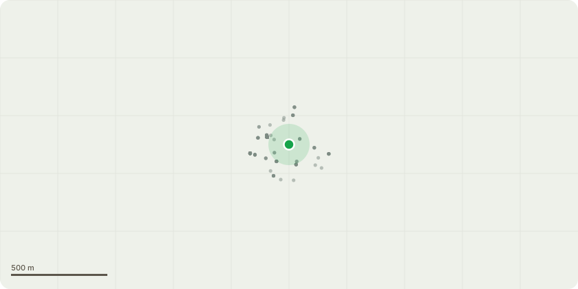
Approximate location
Proposal
Non-material amendment to approved AWDM/1618/23 to reduce the number of Live/Work Units to 4; introduce a residents communal amenity space and gym; reconfiguration of cores including relocation of staircases; relocation of substation to carpark; loss of two EV spaces; alterations to bin and bike stores; increase in depth of Core D; alterations to fenestration design and location; addition of aluminium panels to main window design; alterations to placement of balconies at third and eight floors; alteration to design of butterfly roof-shaped buff walls; new obscure glazed windows to south facing elevation from first to fourth levels; introduction of rain screen cladding in place of brick reveals; High St elevation column changes, internal apartment layout changes and alterations to balcony railings and fencing
Key dates
- Received 19 Aug 2024
- Validated 22 Aug 2024
- Started 22 Aug 2024
- Decided 26 Jun 2025
Planning history / related applications
No related planning applications have been identified in the current public OGL dataset.
Inside plotEdge
Go beyond the public record
This page is the public OGL record. plotEdge adds the private intelligence layer for this site - open it in the app to unlock:
- Ownership & title Registered owner and title from HM Land Registry.
- Viability & build potential Site scoring and development upside.
- Constraints Flood risk, green belt, conservation areas and designations.
- Approval signal Planning risk and approval-likelihood analysis.
- Comparable applications Decisions on similar nearby sites, side by side.
- Status alerts Get notified the moment this application changes.
Source: public planning application data from Adur, reused under the Open Government Licence v3.0. View the council source record. Council documents and drawings are not republished on plotEdge.