Adur
Adur/AWDM/0737/26
Land South East Corner Of Amberley Drive Marine Drive Worthing West Sussex
- Reference
- Adur/AWDM/0737/26
- Authority
- Adur
- Address
- Land South East Corner Of Amberley Drive Marine Drive Worthing West Sussex
- Status
- Registered
- Received
- 24 Jun 2026
- Started
- 24 Jun 2026
- Source council
- Adur
- Council source record
- View public record
- Public data licence
- Open Government Licence v3.0
- Record updated
- 6 Aug 2026
- SEO index generated
- 7 Aug 2026
Location
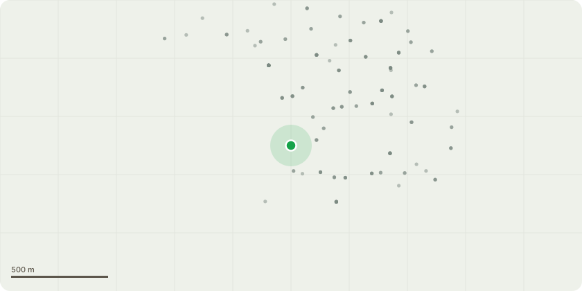
Approximate location
Proposal
Commercial use of regenerated land, including use as a community green space for recreational and leisure use. Retention of land for biodiversity use. Bore hole for extraction of natural water. Use of land to produce natural green energy, for example solar. Provision of vehicle parking use (including overnight camping use for kite surfers and sea swimmers), 2 x 6m flag poles, provision of food and drink from temporary structures, mobile toilets, shower and baby changing facilities. Two recessed shipping containers for site storage and use. Tree shaded sandpit and tumble-down mound for young children and toddlers to use. Animals to use for entertainment purposes, for example Shetland ponies. A decorative flowerpot boat at site entrance. Bin storage use. A wheeled advertising trailer, measuring approx. 5 metres by 2.5 metres located within the site boundary to promote Worthing, local events and tourism.
Key dates
- Received 24 Jun 2026
- Started 24 Jun 2026
Planning history / related applications
No related planning applications have been identified in the current public OGL dataset.
Inside plotEdge
Go beyond the public record
This page is the public OGL record. plotEdge adds the private intelligence layer for this site - open it in the app to unlock:
- Ownership & title Registered owner and title from HM Land Registry.
- Viability & build potential Site scoring and development upside.
- Constraints Flood risk, green belt, conservation areas and designations.
- Approval signal Planning risk and approval-likelihood analysis.
- Comparable applications Decisions on similar nearby sites, side by side.
- Status alerts Get notified the moment this application changes.
Source: public planning application data from Adur, reused under the Open Government Licence v3.0. View the council source record. Council documents and drawings are not republished on plotEdge.