Adur
Adur/AWDM/0534/23
Land At Sompting Brooks Part Of Sompting Estate South Of Test Road Sompting West Sussex
- Reference
- Adur/AWDM/0534/23
- Authority
- Adur
- Address
- Land At Sompting Brooks Part Of Sompting Estate South Of Test Road Sompting West Sussex
- Status
- Decided
- Decision
- Application Permitted
- Received
- 11 Apr 2023
- Validated
- 8 Sept 2023
- Started
- 8 Sept 2023
- Decided
- 9 Oct 2023
- Source council
- Adur
- Council source record
- View public record
- Public data licence
- Open Government Licence v3.0
- Record updated
- 6 Aug 2026
- SEO index generated
- 7 Aug 2026
Location
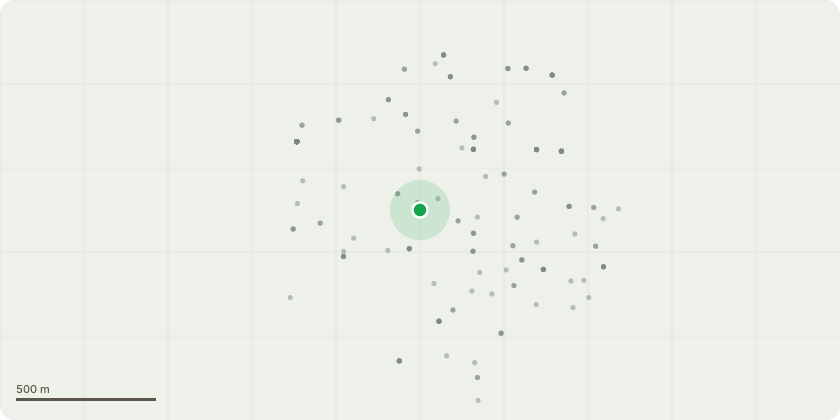
Approximate location
Proposal
The erection of a Mongolian Yurt, known as a Ger. 18ft diameter and 10ft height (including the wooden base) to be placed in the well-being garden at The Fen Farm - Sompting Community Farm. The Ger is a wooden framed structure with an outer canvas covering. The aim is for the Ger to be in place all year round to serve as a dry area for volunteers on the farm to gather for meetings and food growing, craft and mindfulness and well-being activities. The Ger is an original Mongolian Yurt that travelled from Mongolia to France about 30 years ago. It has been in situ in Northern France for many years and it has recently been gifted to the charity to be used at the farm. The plan is to restore the Ger to its original splendour. A small solar panel will be ground mounted for lighting. A small ramp will be created for wheelchair access.
Key dates
- Received 11 Apr 2023
- Validated 8 Sept 2023
- Started 8 Sept 2023
- Decided 9 Oct 2023
Planning history / related applications
No related planning applications have been identified in the current public OGL dataset.
Inside plotEdge
Go beyond the public record
This page is the public OGL record. plotEdge adds the private intelligence layer for this site - open it in the app to unlock:
- Ownership & title Registered owner and title from HM Land Registry.
- Viability & build potential Site scoring and development upside.
- Constraints Flood risk, green belt, conservation areas and designations.
- Approval signal Planning risk and approval-likelihood analysis.
- Comparable applications Decisions on similar nearby sites, side by side.
- Status alerts Get notified the moment this application changes.
Source: public planning application data from Adur, reused under the Open Government Licence v3.0. View the council source record. Council documents and drawings are not republished on plotEdge.