Adur
Adur/AWDM/0482/24
Development Site At Former Debenhams Store 14 To 20 South Street And Iceland Car Park Marine Place Worthing West Sussex
- Reference
- Adur/AWDM/0482/24
- Authority
- Adur
- Address
- Development Site At Former Debenhams Store 14 To 20 South Street And Iceland Car Park Marine Place Worthing West Sussex
- Status
- Decided
- Decision
- Application Permitted
- Received
- 10 Apr 2024
- Validated
- 17 May 2024
- Started
- 17 May 2024
- Decided
- 11 Nov 2024
- Source council
- Adur
- Council source record
- View public record
- Public data licence
- Open Government Licence v3.0
- Record updated
- 6 Aug 2026
- SEO index generated
- 7 Aug 2026
Location
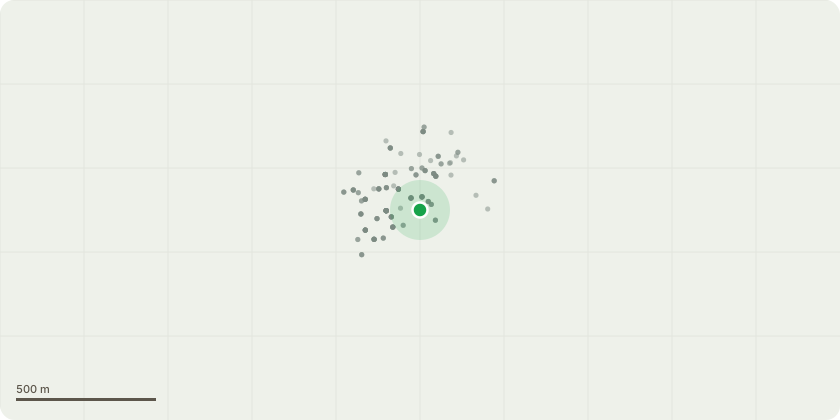
Approximate location
Proposal
Non-material amendments to planning application AWDM/1906/22 including division of commercial space at ground floor to two units; new shopfronts to South St including loss of lobby, new access door and stairs to first floor; commercial refuse store reduced in size; retail bike storage reduced; ground floor Marine Place fenestration alterations; ground floor storage lockers changed to commercial space; loss of one residential unit at first floor; changes to commercial floor space at first and second floors; service risers, refuse chute, cardboard store and lobby removed and flats enlarged; western elevation wall increased at first floor reducing amenity space for units 16-20; terrace removed and wall increased on south elevation at first floor; changes to building line at second floor to east and south; south facing terraces at third floor altered and building line rationalised; fenestration alterations at third floor on east and south elevations and at fourth floor on south elevation including an additional window; reduction in some setbacks at fourth and fifth floors; increase in height of fourth floor to south-east; communal lounge and terrace decreased in size; subdivision of flat into two with private terraces; rooflight added; overall building height of fifth floor reduced; ASHP roof plant reduced; solar PV panels increased; alterations to fenestration of east elevation stair core; and roof steps removed.
Key dates
- Received 10 Apr 2024
- Validated 17 May 2024
- Started 17 May 2024
- Decided 11 Nov 2024
Planning history / related applications
No related planning applications have been identified in the current public OGL dataset.
Inside plotEdge
Go beyond the public record
This page is the public OGL record. plotEdge adds the private intelligence layer for this site - open it in the app to unlock:
- Ownership & title Registered owner and title from HM Land Registry.
- Viability & build potential Site scoring and development upside.
- Constraints Flood risk, green belt, conservation areas and designations.
- Approval signal Planning risk and approval-likelihood analysis.
- Comparable applications Decisions on similar nearby sites, side by side.
- Status alerts Get notified the moment this application changes.
Source: public planning application data from Adur, reused under the Open Government Licence v3.0. View the council source record. Council documents and drawings are not republished on plotEdge.