Adur
Adur/AWDM/0099/24
Land South East Corner Of Amberley Drive Marine Drive Worthing West Sussex
- Reference
- Adur/AWDM/0099/24
- Authority
- Adur
- Address
- Land South East Corner Of Amberley Drive Marine Drive Worthing West Sussex
- Status
- Decided
- Decision
- Refusal
- Received
- 23 Jan 2024
- Validated
- 23 Jan 2024
- Started
- 23 Jan 2024
- Decided
- 18 Mar 2024
- Source council
- Adur
- Council source record
- View public record
- Public data licence
- Open Government Licence v3.0
- Record updated
- 6 Aug 2026
- SEO index generated
- 7 Aug 2026
Location
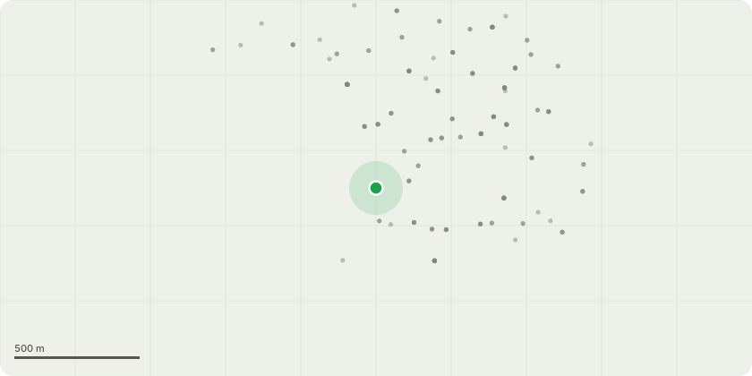
Approximate location
Proposal
Application for Certificate of Lawfulness for Proposed Construction of a large sandpit for children, with a large gazebo for shade over. Installation of boundary fence. Placement of three further gazebo's around the main sandpit, selling cold and hot drinks, snacks, with additional other concessions on the site to offer food services. Installation of bin area. Installation of security CCTV to enable children to view wildlife online. Area set aside for parking. Clear rubbish, earth, roots and debris to enter land through existing established entrances. Retain existing gate posts and gates. Insert sunken posts inside the land. Place a flowerpot boat on the edge of the land and decorate with flowers and other items. A fenced boules sand pit. A flag pole - no more than 4.6m with a flag of either country or town colours.
Key dates
- Received 23 Jan 2024
- Validated 23 Jan 2024
- Started 23 Jan 2024
- Decided 18 Mar 2024
Planning history / related applications
No related planning applications have been identified in the current public OGL dataset.
Inside plotEdge
Go beyond the public record
This page is the public OGL record. plotEdge adds the private intelligence layer for this site - open it in the app to unlock:
- Ownership & title Registered owner and title from HM Land Registry.
- Viability & build potential Site scoring and development upside.
- Constraints Flood risk, green belt, conservation areas and designations.
- Approval signal Planning risk and approval-likelihood analysis.
- Comparable applications Decisions on similar nearby sites, side by side.
- Status alerts Get notified the moment this application changes.
Source: public planning application data from Adur, reused under the Open Government Licence v3.0. View the council source record. Council documents and drawings are not republished on plotEdge.