Wyre
Wyre/25/00559/LBC
The Mount Pavilion The Esplanade Fleetwood Lancashire FY7 6QE
- Reference
- Wyre/25/00559/LBC
- Authority
- Wyre
- Application type
- Listed building consent
- Address
- The Mount Pavilion The Esplanade Fleetwood Lancashire FY7 6QE
- Postcode
- FY7 6QE
- Status
- Application Permitted
- Decision
- Application Permitted
- Received
- 24 Jun 2025
- Validated
- 24 Jun 2025
- Started
- 24 Jun 2025
- Decided
- 15 Dec 2025
- Source council
- Wyre
- Council source record
- View public record
- Public data licence
- Open Government Licence v3.0
- Record updated
- 18 Jul 2026
- SEO index generated
- 24 Jul 2026
Location
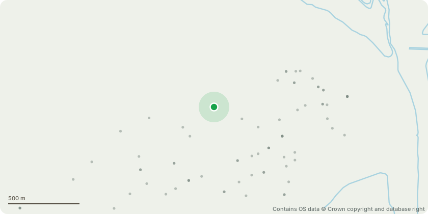
Approximate location - Contains OS data © Crown copyright and database right
Proposal
Listed building consent for the restoration of the Mount Garden (Grade II registered park and garden) and the Pavilion and Lodge buildings (Grade II Listed) works will include landscape works, alterations to external appearance of the Lodge building and the excavation of the basement level with new access steps and path and internal alterations; alterations to the external appearance of the Pavilion including new balustrades, 5 new dormers and copper roof to dome and internal alterations; demolition of the existing sub-station and its brick enclosure and relocation a new GRP unit; change of use of the Lodge building to a volunteer hub (B1), artist in residence studio (B1) and cafe (A3), and the Pavillion to be used for assembly and leisure (D2); two new light posts, new lanterns on all existing light posts; new CCTV camera on post and new wall and gates onto Mount Road (Pursuant to variations of conditions 2 (Materials) and 3 (plans) on planning permission 18/00264/LBC)
Key dates
- Received 24 Jun 2025
- Validated 24 Jun 2025
- Started 24 Jun 2025
- Decided 15 Dec 2025
Planning history / related applications
No related planning applications have been identified in the current public OGL dataset.
Inside plotEdge
Go beyond the public record
This page is the public OGL record. plotEdge adds the private intelligence layer for this site - open it in the app to unlock:
- Ownership & title Registered owner and title from HM Land Registry.
- Viability & build potential Site scoring and development upside.
- Constraints Flood risk, green belt, conservation areas and designations.
- Approval signal Planning risk and approval-likelihood analysis.
- Comparable applications Decisions on similar nearby sites, side by side.
- Status alerts Get notified the moment this application changes.
Source: public planning application data from Wyre, reused under the Open Government Licence v3.0. View the council source record. Council documents and drawings are not republished on plotEdge.