Wyre Forest
Wyre Forest/25/0301/TCA
Areley Hall Areley Lane Stourport On Severn Worcestershire DY13 0TA
- Reference
- Wyre Forest/25/0301/TCA
- Authority
- Wyre Forest
- Application type
- Trees in conservation area
- Address
- Areley Hall Areley Lane Stourport On Severn Worcestershire DY13 0TA
- Postcode
- DY13 0TA
- Status
- Approved
- Decision
- Approved
- Received
- 9 Apr 2025
- Validated
- 9 Apr 2025
- Started
- 9 Apr 2025
- Decided
- 21 May 2025
- Source council
- Wyre Forest
- Council source record
- View public record
- Public data licence
- Open Government Licence v3.0
- Record updated
- 18 Jul 2026
- SEO index generated
- 24 Jul 2026
Location
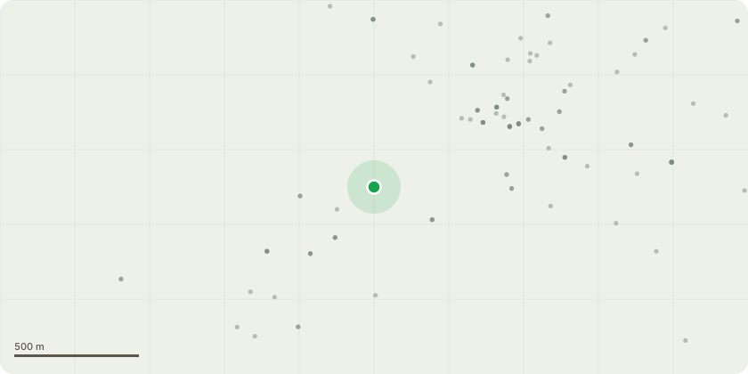
Approximate location
Proposal
Sycamore - Fell because risk of damage to main water supply pipe and damage to listed garden wallWe had an underground water pipe leak in December 2023. Pipe runs from Dunley Road (Severn Trent meter point) to our property (approximately 300 metres across grounds of 3 third party properties). It took approx. 6 months to investigate, locate and fix the leak.During the investigations, the engineers found that the course of the water supply pipe runs under/near the roots of a tree on our rear driveway to Areley Hall. The engineer identified this as a source of future problems and high risk of the roots causing damage to the water supply pipe.The said tress is also pushing against garden wall with risk of causing the wall to fall. The garden wall is a noted feature in the conservation area appraisal.
Key dates
- Received 9 Apr 2025
- Validated 9 Apr 2025
- Started 9 Apr 2025
- Decided 21 May 2025
Planning history / related applications
No related planning applications have been identified in the current public OGL dataset.
Inside plotEdge
Go beyond the public record
This page is the public OGL record. plotEdge adds the private intelligence layer for this site - open it in the app to unlock:
- Ownership & title Registered owner and title from HM Land Registry.
- Viability & build potential Site scoring and development upside.
- Constraints Flood risk, green belt, conservation areas and designations.
- Approval signal Planning risk and approval-likelihood analysis.
- Comparable applications Decisions on similar nearby sites, side by side.
- Status alerts Get notified the moment this application changes.
Source: public planning application data from Wyre Forest, reused under the Open Government Licence v3.0. View the council source record. Council documents and drawings are not republished on plotEdge.