Wychavon
Wychavon/W/26/00970/CAN
Hillside George Lane Wyre Piddle Pershore WR10 2HX
- Reference
- Wychavon/W/26/00970/CAN
- Authority
- Wychavon
- Application type
- Tree works within a conservation area
- Address
- Hillside George Lane Wyre Piddle Pershore WR10 2HX
- Postcode
- WR10 2HX
- Status
- Decision - Other
- Decision
- Other Track This App Sign up to notifications on this planning application Back to search results New search × To subscribe and follow this Planning application please provide us with your full name and Email address. Name Email Subscribe Cancel Application Details Documents Consultations Map Appeals Application Details Documents Consultations Map Appeals Planning Online
- Received
- 5 May 2026
- Started
- 5 May 2026
- Decided
- 21 May 2026
- Source council
- Wychavon
- Council source record
- View public record
- Public data licence
- Open Government Licence v3.0
- Record updated
- 18 Jul 2026
- SEO index generated
- 24 Jul 2026
Location
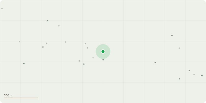
Approximate location
Proposal
Remove Conifer Trees T1, T4 (leaning), T6, T8,T10, T12 from maintained conifer hedge, on the rear boundary between Hillside and 4, The Close, reduce height of remaining conifer hedge to approximately 18 feet on neighbour’s side and to 15 feet on our side. Remove A1 (small conifer) Remove C1 (small conifer trunk) as it is dead. B1 Silver Birch. The lower branch growing up the garden by approx 8 metres, splits into 3 smaller branches. We would like to trim these each back to the nearest growing point to reduce the overall length coming into the garden by 1 - 2 metres maximum. They are thin branches of approximately the width of the palm of a hand. Undertake tree works as detailed on application form and in any accompanying information.
Key dates
- Received 5 May 2026
- Started 5 May 2026
- Decided 21 May 2026
Planning history / related applications
No related planning applications have been identified in the current public OGL dataset.
Inside plotEdge
Go beyond the public record
This page is the public OGL record. plotEdge adds the private intelligence layer for this site - open it in the app to unlock:
- Ownership & title Registered owner and title from HM Land Registry.
- Viability & build potential Site scoring and development upside.
- Constraints Flood risk, green belt, conservation areas and designations.
- Approval signal Planning risk and approval-likelihood analysis.
- Comparable applications Decisions on similar nearby sites, side by side.
- Status alerts Get notified the moment this application changes.
Source: public planning application data from Wychavon, reused under the Open Government Licence v3.0. View the council source record. Council documents and drawings are not republished on plotEdge.