Worcester
Worcester/26/00589/CAN
Lynthorpe Battenhall Avenue Worcester WR5 2HN
- Reference
- Worcester/26/00589/CAN
- Authority
- Worcester
- Application type
- Tree works within a conservation area
- Address
- Lynthorpe Battenhall Avenue Worcester WR5 2HN
- Postcode
- WR5 2HN
- Status
- Pending
- Received
- 15 Jul 2026
- Started
- 15 Jul 2026
- Source council
- Worcester
- Council source record
- View public record
- Public data licence
- Open Government Licence v3.0
- Record updated
- 18 Jul 2026
- SEO index generated
- 24 Jul 2026
Location
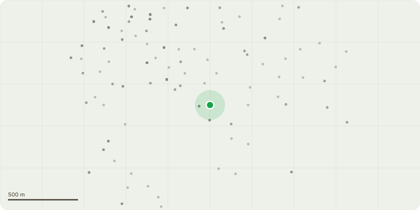
Approximate location
Proposal
We are seeking permission to undertake arboricultural works to the trees and boundary vegetation within the property as detailed below. Front Boundary – Laurel Hedge, Conifer (T1) and Cherry Tree (T2) Reduce the front boundary vegetation (laurel hedge and Conifer T1) back to the property boundary line to prevent encroachment beyond the site. Following completion of the boundary clearance, carry out the following works to Cherry Tree (T2): * Crown reduction by approximately 20%, retaining the tree’s natural form. * Remove all deadwood throughout the crown. Reason for Works: The boundary vegetation is being struck by passing lorries and is beginning to obstruct the adjacent public footpath. The excessive density of the vegetation is also restricting healthy growth within the boundary. Silver Birch (T3) Carry out a sympathetic crown reduction to: * Reduce the overall height by approximately 2 metres. * Limit pruning wounds to a maximum diameter of approximately 40mm where reasonably practicable. * Thin the crown by approximately 15%. Overall canopy reduction will equate to approximately 25% while maintaining the tree’s natural shape and balance. Reason for Works: The tree is situated within an island planting area in the garden and is increasingly exposed to wind loading. The proposed works will reduce canopy weight and sail effect, improving resilience during periods of high wind while maintaining the tree’s health and amenity value. Hornbeam (T4) Carry out: * Crown lift to provide suitable clearance. * Crown reduction of approximately 30%, retaining the tree’s natural shape. Reason for Works: The tree is currently in good health and structurally sound. The proposed works are preventative maintenance to reduce end-weight, encourage long-term vitality and minimise the likelihood of future decline, ensuring continued safe retention of the tree. Rear Boundary – Trees (T5, T6 & T7) and Boundary Hedge Along the rear boundary adjoining a footpath: * Fell Trees T5, T6 and T7, which are all leaning towards the footpath and are each approximately 7 metres in height with stem diameters of approximately 80mm. * Cut back the boundary hedge overhanging the public footpath along approximately 60 metres of its length, maintaining a finished height of approximately 3 metres and providing adequate clearance over the footpath. Reason for Works: The vegetation is beginning to obstruct the public footpath. The proposed works will restore safe access, prevent further encroachment and establish an ongoing manageable boundary.
Key dates
- Received 15 Jul 2026
- Started 15 Jul 2026
Planning history / related applications
No related planning applications have been identified in the current public OGL dataset.
Inside plotEdge
Go beyond the public record
This page is the public OGL record. plotEdge adds the private intelligence layer for this site - open it in the app to unlock:
- Ownership & title Registered owner and title from HM Land Registry.
- Viability & build potential Site scoring and development upside.
- Constraints Flood risk, green belt, conservation areas and designations.
- Approval signal Planning risk and approval-likelihood analysis.
- Comparable applications Decisions on similar nearby sites, side by side.
- Status alerts Get notified the moment this application changes.
Source: public planning application data from Worcester, reused under the Open Government Licence v3.0. View the council source record. Council documents and drawings are not republished on plotEdge.