Wolverhampton
Wolverhampton/26/00783/TN
18 College Road Wolverhampton West Midlands WV6 8QE
- Reference
- Wolverhampton/26/00783/TN
- Authority
- Wolverhampton
- Application type
- TN
- Address
- 18 College Road Wolverhampton West Midlands WV6 8QE
- Postcode
- WV6 8QE
- Status
- Decided
- Received
- 17 Jul 2026
- Validated
- 21 Jul 2026
- Started
- 21 Jul 2026
- Decided
- 21 Jul 2026
- Source council
- Wolverhampton
- Council source record
- View public record
- Public data licence
- Open Government Licence v3.0
- Record updated
- 30 Jul 2026
- SEO index generated
- 31 Jul 2026
Location
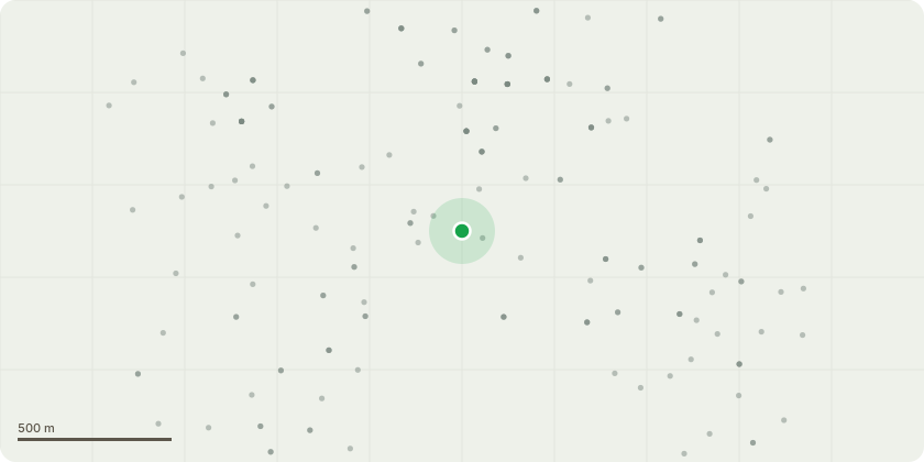
Approximate location
Proposal
G1 - Yew Trees5 Yew trees in back garden and overhanging the neighbour behind, to be reduced in height to old pruningpoints.Any lateral branches that are bending out or snapped from the trees to be removed to limit further damage,sides to be trimmed lightly to encourage future growth.Neighbours side to be trimmed back to create a neater hedge lineT1 - AshRemove down as close to ground as practicably possible.Tree is showing severe signs of Ash Dieback and is overhanging the walkway of college roadT2 - Pussy WillowReduce limb over the walkway of college road as close to source as possible. The lever arm on this limb isrelatively long and there is a severe decay point approximately 2 m up the limb, therefore there is aconsiderable force being exerted on this fulcrum point.G2 - Trees overhanging walkway of college roadMixed species to be lifted by 3m off the road and trimmed back to the sandstone wall T3 - Conifer in rear gardenTo be reduced in height by approximately 2m and sides trimmed back to allow the paper birch to flourish and create more of an amenity value
Key dates
- Received 17 Jul 2026
- Validated 21 Jul 2026
- Started 21 Jul 2026
- Decided 21 Jul 2026
Planning history / related applications
No related planning applications have been identified in the current public OGL dataset.
Inside plotEdge
Go beyond the public record
This page is the public OGL record. plotEdge adds the private intelligence layer for this site - open it in the app to unlock:
- Ownership & title Registered owner and title from HM Land Registry.
- Viability & build potential Site scoring and development upside.
- Constraints Flood risk, green belt, conservation areas and designations.
- Approval signal Planning risk and approval-likelihood analysis.
- Comparable applications Decisions on similar nearby sites, side by side.
- Status alerts Get notified the moment this application changes.
Source: public planning application data from Wolverhampton, reused under the Open Government Licence v3.0. View the council source record. Council documents and drawings are not republished on plotEdge.