Wolverhampton
Wolverhampton/26/00712/TR
30 Wrottesley Road Wolverhampton West Midlands WV6 8SF
- Reference
- Wolverhampton/26/00712/TR
- Authority
- Wolverhampton
- Application type
- TR
- Address
- 30 Wrottesley Road Wolverhampton West Midlands WV6 8SF
- Postcode
- WV6 8SF
- Status
- Awaiting decision
- Received
- 29 Jun 2026
- Started
- 29 Jun 2026
- Source council
- Wolverhampton
- Council source record
- View public record
- Public data licence
- Open Government Licence v3.0
- Record updated
- 18 Jul 2026
- SEO index generated
- 24 Jul 2026
Location
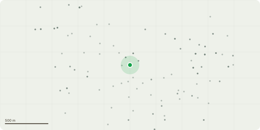
Approximate location
Proposal
The trees in question are a group of mature Corsican pine situated adjacent to residential properties, private garden assets, and a public footpath. Following the catastrophic failure of a neighboring tree within this group in December 2025 which resulted in significant structural damage to an adjacent property the site conditions have fundamentally changed. Our professional assessment concludes that the remaining specimens now present an imminent, foreseeable risk of failure that exceeds all acceptable risk thresholds as defined by the Quantified Tree Risk Assessment (QTRA) methodology .T1 this tree displays signs of basal movement, characterised by compromised soil stability around the root plate. Coupled with an unbalanced, heavily weighted crown leaning towards an adjacent, recently built outbuilding, the tree represents a high-probability target threat.The outbuilding has high value and high occupancy from the homeowner as it is his personal gym and also nursery for his young child.The owner and his child regularly play in the garden too.T2 exhibits significant limb failure within the crown as there is a large, broken limb which is hanging within the crown waiting to fall. Both T1 and T2 demonstrate elongated, exposed stems and poor physiological form, which are exacerbated by their history of mechanical failure.The recent loss of an adjacent tree of same species and age has removed critical wind buffering. The remaining trees are now exposed to altered wind loading and increased mechanical stress, significantly accelerating the risk of further, unpredictable failures within the group. This is evidenced by the fact that every tree within the group shows evidence of limb failures either through hanging branches or branch stubs, some of which are very large and pose an immediate threat to the outbuilding and public who use the adjacent footpath.Following the recent failure event and our subsequent QTRA analysis, the trees have been categorised as fal...
Key dates
- Received 29 Jun 2026
- Started 29 Jun 2026
Planning history / related applications
No related planning applications have been identified in the current public OGL dataset.
Inside plotEdge
Go beyond the public record
This page is the public OGL record. plotEdge adds the private intelligence layer for this site - open it in the app to unlock:
- Ownership & title Registered owner and title from HM Land Registry.
- Viability & build potential Site scoring and development upside.
- Constraints Flood risk, green belt, conservation areas and designations.
- Approval signal Planning risk and approval-likelihood analysis.
- Comparable applications Decisions on similar nearby sites, side by side.
- Status alerts Get notified the moment this application changes.
Source: public planning application data from Wolverhampton, reused under the Open Government Licence v3.0. View the council source record. Council documents and drawings are not republished on plotEdge.