Wolverhampton
Wolverhampton/26/00545/TN
Oakleigh Grove Lane Wolverhampton West Midlands WV6 8NH
- Reference
- Wolverhampton/26/00545/TN
- Authority
- Wolverhampton
- Application type
- TN
- Address
- Oakleigh Grove Lane Wolverhampton West Midlands WV6 8NH
- Postcode
- WV6 8NH
- Status
- Decided
- Received
- 16 May 2026
- Validated
- 18 May 2026
- Started
- 18 May 2026
- Decided
- 25 Jun 2026
- Source council
- Wolverhampton
- Council source record
- View public record
- Public data licence
- Open Government Licence v3.0
- Record updated
- 18 Jul 2026
- SEO index generated
- 24 Jul 2026
Location
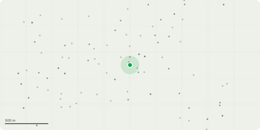
Approximate location
Proposal
Description of Trees and Proposed Works - note there is no TPO on the trees in question.T1 (Sycamore), T2 (Elder), and T3 (Elder): This application proposes the felling to ground level of a tight cluster of three self-seeded trees (T1, T2, and T3) situated in the narrow gap between the property boundary and the existing garage. T3 is in direct physical contact with the garage brickwork and is currently suppressing the eaves and guttering. T1 and T2 are multi-stemmed specimens located within the immediate root protection area of the structure. The removal is required to facilitate a garage conversion; the current proximity of these trees makes the necessary foundation reinforcement and structural upgrades impossible without compromising both the stability of the trees and the long-term integrity of the building. These trees are of low amenity value and their removal will not negatively impact the character of the Tettenhall Wood Conservation Area.Work: Fell to ground level and grind stump.
Key dates
- Received 16 May 2026
- Validated 18 May 2026
- Started 18 May 2026
- Decided 25 Jun 2026
Planning history / related applications
No related planning applications have been identified in the current public OGL dataset.
Inside plotEdge
Go beyond the public record
This page is the public OGL record. plotEdge adds the private intelligence layer for this site - open it in the app to unlock:
- Ownership & title Registered owner and title from HM Land Registry.
- Viability & build potential Site scoring and development upside.
- Constraints Flood risk, green belt, conservation areas and designations.
- Approval signal Planning risk and approval-likelihood analysis.
- Comparable applications Decisions on similar nearby sites, side by side.
- Status alerts Get notified the moment this application changes.
Source: public planning application data from Wolverhampton, reused under the Open Government Licence v3.0. View the council source record. Council documents and drawings are not republished on plotEdge.