Wolverhampton
Wolverhampton/26/00407/TR
24 Saxon Court Wolverhampton West Midlands WV6 8SA
- Reference
- Wolverhampton/26/00407/TR
- Authority
- Wolverhampton
- Application type
- TR
- Address
- 24 Saxon Court Wolverhampton West Midlands WV6 8SA
- Postcode
- WV6 8SA
- Status
- Decided
- Received
- 22 Apr 2026
- Validated
- 22 Apr 2026
- Started
- 22 Apr 2026
- Decided
- 18 Jun 2026
- Source council
- Wolverhampton
- Council source record
- View public record
- Public data licence
- Open Government Licence v3.0
- Record updated
- 18 Jul 2026
- SEO index generated
- 24 Jul 2026
Location
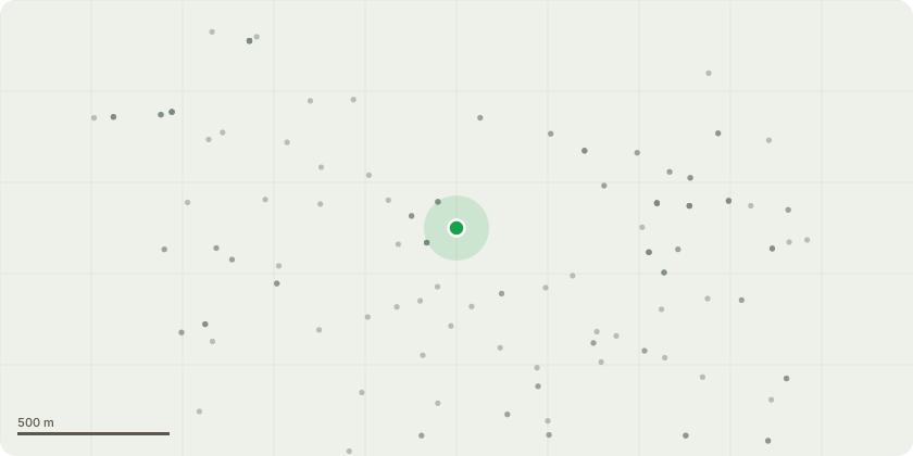
Approximate location
Proposal
02/2/23 (T225) Fell Corsican pine. This is a mature specimen situated within a small residential garden and directly overhangs a frequently used patio and the dwelling. The tree is also leaning directly towards a neighbouring property that is in close proximity. The tree has recently shed a substantial live limb (see attached), indicating active structural limb failure rather than minor deadwood shedding. The size and condition of the failed branch suggest an inherent weakness within the canopy structure. There are also breakages within the canopy. The species is known to develop long, end-weighted lateral limbs, and the current form of the tree is top-heavy with significant sail area concentrated in the upper crown. This increases the likelihood of further failures, particularly under wind loading.Given the high-value target area beneath the canopy and the unpredictable nature of the failure observed, the risk is considered ongoing and significant.Due to the form and species characteristics, pruning or reduction would not provide a suitable mitigation and may exacerbate structural issues.Removal is therefore requested on the grounds that the risk cannot be reasonably managed while retaining the tree.
Key dates
- Received 22 Apr 2026
- Validated 22 Apr 2026
- Started 22 Apr 2026
- Decided 18 Jun 2026
Planning history / related applications
No related planning applications have been identified in the current public OGL dataset.
Inside plotEdge
Go beyond the public record
This page is the public OGL record. plotEdge adds the private intelligence layer for this site - open it in the app to unlock:
- Ownership & title Registered owner and title from HM Land Registry.
- Viability & build potential Site scoring and development upside.
- Constraints Flood risk, green belt, conservation areas and designations.
- Approval signal Planning risk and approval-likelihood analysis.
- Comparable applications Decisions on similar nearby sites, side by side.
- Status alerts Get notified the moment this application changes.
Source: public planning application data from Wolverhampton, reused under the Open Government Licence v3.0. View the council source record. Council documents and drawings are not republished on plotEdge.