Wolverhampton
Wolverhampton/26/00402/TR
Wilkinson Primary School Walter Road Wolverhampton West Midlands WV14 8UR
- Reference
- Wolverhampton/26/00402/TR
- Authority
- Wolverhampton
- Application type
- TR
- Address
- Wilkinson Primary School Walter Road Wolverhampton West Midlands WV14 8UR
- Postcode
- WV14 8UR
- Status
- Decided
- Received
- 21 Apr 2026
- Validated
- 21 Apr 2026
- Started
- 21 Apr 2026
- Decided
- 18 May 2026
- Source council
- Wolverhampton
- Council source record
- View public record
- Public data licence
- Open Government Licence v3.0
- Record updated
- 18 Jul 2026
- SEO index generated
- 24 Jul 2026
Location
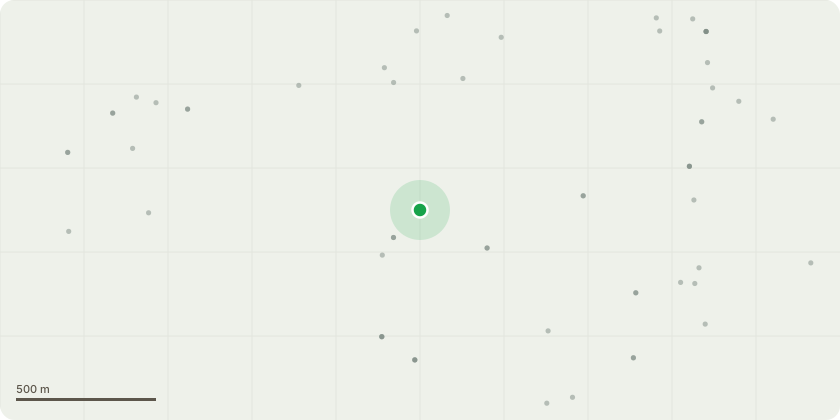
Approximate location
Proposal
The trees are located behind our boundary fence and the rear garden fences of neighbouring residents (see Photo TFT 10) and are not actively managed by any party. As shown in Photo TFT 1, these self-seeded trees are causing significant damage to our boundary fence and playground. Our grounds staff have confirmed that all the trees are self-setters.The trees present ongoing health and safety risks. Birds foul the playground daily, creating unhygienic conditions for children aged two, who regularly crawl and play on the surface. As a result, the site manager is required to jet-wash the area every day. Additionally, tree roots have caused the play surface to lift and split in multiple locations.A full playground replacement is scheduled for July at significant cost to the school. We cannot allow these issues to continue and compromise the new installation. The playground installer has confirmed that retaining the trees will result in further damage to the new surface.We therefore propose that the trees be cut back to ground level. Ownership of the trees is unclear; it is believed that when the school previously burnt down, the fence was not reinstated back-to-back with neighbouring properties, leaving an unmanaged strip of land where self-seeders have grown unchecked. Although the trees were cut back several years ago, they have since regrown aggressively and continue to damage the playground. On the next page, we have marked ourselves as the owner of the trees because ownership is unclear.
Key dates
- Received 21 Apr 2026
- Validated 21 Apr 2026
- Started 21 Apr 2026
- Decided 18 May 2026
Planning history / related applications
No related planning applications have been identified in the current public OGL dataset.
Inside plotEdge
Go beyond the public record
This page is the public OGL record. plotEdge adds the private intelligence layer for this site - open it in the app to unlock:
- Ownership & title Registered owner and title from HM Land Registry.
- Viability & build potential Site scoring and development upside.
- Constraints Flood risk, green belt, conservation areas and designations.
- Approval signal Planning risk and approval-likelihood analysis.
- Comparable applications Decisions on similar nearby sites, side by side.
- Status alerts Get notified the moment this application changes.
Source: public planning application data from Wolverhampton, reused under the Open Government Licence v3.0. View the council source record. Council documents and drawings are not republished on plotEdge.