Wolverhampton
Wolverhampton/26/00155/TR
9 Vicarage Road Penn Wolverhampton West Midlands WV4 5HU
- Reference
- Wolverhampton/26/00155/TR
- Authority
- Wolverhampton
- Application type
- TR
- Address
- 9 Vicarage Road Penn Wolverhampton West Midlands WV4 5HU
- Postcode
- WV4 5HU
- Status
- Decided
- Received
- 20 Feb 2026
- Validated
- 20 Feb 2026
- Started
- 20 Feb 2026
- Decided
- 2 Apr 2026
- Source council
- Wolverhampton
- Council source record
- View public record
- Public data licence
- Open Government Licence v3.0
- Record updated
- 18 Jul 2026
- SEO index generated
- 24 Jul 2026
Location
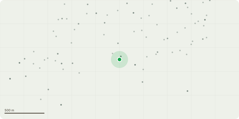
Approximate location
Proposal
09/00018/TPO (T1) silver fir marked t1 in red on map location plan to be removed to include stump grinding, tree has shown decline in the past two years as per pictured timeline attached to this application. the lower tier of the tree is showing decline/dieback believed/potentially to be due to honey fungus from rhododendrons previously removed in the garden that were located under the tree and killed by this. if dead branches were removed the tree would only have around 5 metres at the very top remaining this would then pose a risk. removal has been suggested after visiting the site and replacement of the tree as the owners don't wish to loose it as it has been a prominent feature in there garden but due to the extensive die back within the crown removal is required unfortunately.
Key dates
- Received 20 Feb 2026
- Validated 20 Feb 2026
- Started 20 Feb 2026
- Decided 2 Apr 2026
Planning history / related applications
No related planning applications have been identified in the current public OGL dataset.
Inside plotEdge
Go beyond the public record
This page is the public OGL record. plotEdge adds the private intelligence layer for this site - open it in the app to unlock:
- Ownership & title Registered owner and title from HM Land Registry.
- Viability & build potential Site scoring and development upside.
- Constraints Flood risk, green belt, conservation areas and designations.
- Approval signal Planning risk and approval-likelihood analysis.
- Comparable applications Decisions on similar nearby sites, side by side.
- Status alerts Get notified the moment this application changes.
Source: public planning application data from Wolverhampton, reused under the Open Government Licence v3.0. View the council source record. Council documents and drawings are not republished on plotEdge.