Wolverhampton
Wolverhampton/26/00066/TN
5 The Cedars Stockwell Road Wolverhampton West Midlands WV6 9AZ
- Reference
- Wolverhampton/26/00066/TN
- Authority
- Wolverhampton
- Application type
- TN
- Address
- 5 The Cedars Stockwell Road Wolverhampton West Midlands WV6 9AZ
- Postcode
- WV6 9AZ
- Status
- Decided
- Received
- 26 Jan 2026
- Validated
- 26 Jan 2026
- Started
- 26 Jan 2026
- Decided
- 25 Mar 2026
- Source council
- Wolverhampton
- Council source record
- View public record
- Public data licence
- Open Government Licence v3.0
- Record updated
- 18 Jul 2026
- SEO index generated
- 24 Jul 2026
Location
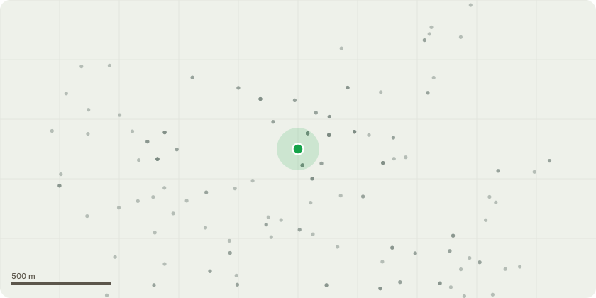
Approximate location
Proposal
2/2/23 G29) T1 Cedar - Fell to ground levelThe tree has recently experienced significant physiological failure, shedding multiple large limbs from the upper canopy. This failure has already resulted in direct damage to the roofing structure of the adjacent property and have resulted in extensive tear-wounds on the remaining structure, compromising the tree's health and safety.Remedial pruning to make the tree safe would require the removal of large limbs and a large volume of the canopy that the tree?s amenity value would be destroyed, and its long-term survival compromised.The specimen has outgrown its location in close proximity to the building. Standard reduction measures (crown lifting/reduction) are considered insufficient to mitigate the safety risks and encroachment issues.Given the tree's proximity to the building and its recent history of shedding heavy limbs, it presents an unacceptable risk to persons and property.
Key dates
- Received 26 Jan 2026
- Validated 26 Jan 2026
- Started 26 Jan 2026
- Decided 25 Mar 2026
Planning history / related applications
No related planning applications have been identified in the current public OGL dataset.
Inside plotEdge
Go beyond the public record
This page is the public OGL record. plotEdge adds the private intelligence layer for this site - open it in the app to unlock:
- Ownership & title Registered owner and title from HM Land Registry.
- Viability & build potential Site scoring and development upside.
- Constraints Flood risk, green belt, conservation areas and designations.
- Approval signal Planning risk and approval-likelihood analysis.
- Comparable applications Decisions on similar nearby sites, side by side.
- Status alerts Get notified the moment this application changes.
Source: public planning application data from Wolverhampton, reused under the Open Government Licence v3.0. View the council source record. Council documents and drawings are not republished on plotEdge.