Wolverhampton
Wolverhampton/25/01190/TR
87 Bramstead Avenue Wolverhampton West Midlands WV6 8AT
- Reference
- Wolverhampton/25/01190/TR
- Authority
- Wolverhampton
- Application type
- TR
- Address
- 87 Bramstead Avenue Wolverhampton West Midlands WV6 8AT
- Postcode
- WV6 8AT
- Status
- Decided
- Received
- 21 Oct 2025
- Validated
- 26 Jan 2026
- Started
- 26 Jan 2026
- Decided
- 26 Jan 2026
- Source council
- Wolverhampton
- Council source record
- View public record
- Public data licence
- Open Government Licence v3.0
- Record updated
- 18 Jul 2026
- SEO index generated
- 24 Jul 2026
Location
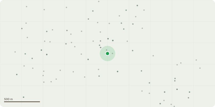
Approximate location
Proposal
02/2/026 (W19) Previous refusal for the removal of T1 Castlewellan golden conifer the tree is located in the rear garden of the property on the boundary fencing which it is currently causing damage to. My client wishes to remove the conifer to include stump grinding in order to repair the fencing and re plant along the new fencing 24x laurel hedging plants off established height to maintain his privacy and offset the environmental factors off the proposed conifer removal. There is a conifer hedge also in the garden to the right hand side which is to remain which can be seen on street view image in this report. There is several large hardwood trees on the embankment grounds believed to be owned by local authority that are large mature specimens which cover and hide any visual value it offers, the conifer in question is around 15 metres in height and cant be seen other than from the few houses that back onto the property due to the large mature hardwood trees on the embankment area covering it. I cant see it offers any amenity value to the local area and isn?t particularly a special tree that should be retained. It is a multi stem tree which bifurcates at the base which structurally undermines the tree and removal should be granted on this basis. Ive attached images with a location plan and photos off the conifer in question and a street view off the hardwood trees to the side of the property which show all these factors as described clearly.
Key dates
- Received 21 Oct 2025
- Validated 26 Jan 2026
- Started 26 Jan 2026
- Decided 26 Jan 2026
Planning history / related applications
No related planning applications have been identified in the current public OGL dataset.
Inside plotEdge
Go beyond the public record
This page is the public OGL record. plotEdge adds the private intelligence layer for this site - open it in the app to unlock:
- Ownership & title Registered owner and title from HM Land Registry.
- Viability & build potential Site scoring and development upside.
- Constraints Flood risk, green belt, conservation areas and designations.
- Approval signal Planning risk and approval-likelihood analysis.
- Comparable applications Decisions on similar nearby sites, side by side.
- Status alerts Get notified the moment this application changes.
Source: public planning application data from Wolverhampton, reused under the Open Government Licence v3.0. View the council source record. Council documents and drawings are not republished on plotEdge.