Wolverhampton
Wolverhampton/25/01090/TR
1 Chatsworth Gardens Wolverhampton West Midlands WV6 8UU
- Reference
- Wolverhampton/25/01090/TR
- Authority
- Wolverhampton
- Application type
- TR
- Address
- 1 Chatsworth Gardens Wolverhampton West Midlands WV6 8UU
- Postcode
- WV6 8UU
- Status
- Decided
- Received
- 24 Sept 2025
- Validated
- 25 Sept 2025
- Started
- 25 Sept 2025
- Decided
- 25 Sept 2025
- Source council
- Wolverhampton
- Council source record
- View public record
- Public data licence
- Open Government Licence v3.0
- Record updated
- 18 Jul 2026
- SEO index generated
- 24 Jul 2026
Location
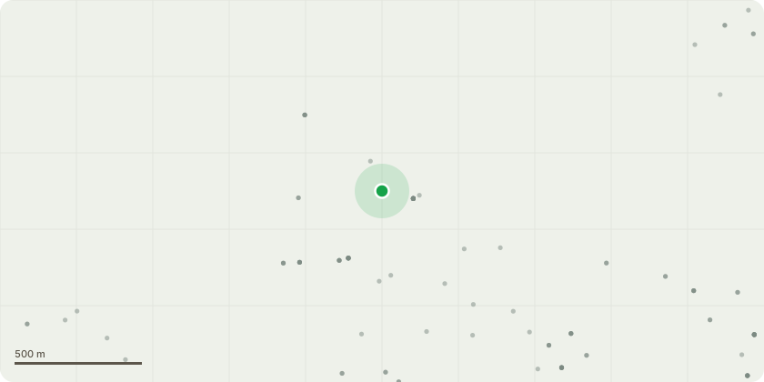
Approximate location
Proposal
2/2/468 (G2) T1 Black Pine Thin the crown by no more than 20% and install Cobra bracing in accordance with BS:3998 standards. Bracing will be applied to each limb, securing them back to the main trunk.The subject tree is a mature Black Pine, approximately 50 feet tall, located in an affluent area of Wolverhampton. The tree comprises a main trunk with two substantial lateral limbs, in addition to the remainder of the crown (see Picture 0).Recently, a large limb, approximately 10 inches in diameter and 15 feet in length, failed and fell into the owners garden. Examination revealed a small longitudinal crack (about 2 feet long; see Picture 1), likely formed during the failure. At the failure point, a small area of internal decay was observed (Picture 2), which was not externally visible and would not have been detected during an aerial inspection. There would have been minimal to no external signs indicating decay or imminent failure.The remaining limbs are even larger than the one that failed. Limb L1, approximately 2 feet in diameter, extends towards the owners house as well as the neighbours shed, house, and garage. This limb grows both laterally and slightly upright. Limb L2, of similar diameter, extends in a more vertical manner. Both limbs exhibit excessive end weight and significant lateral growth, with some branches growing geotropically, further increasing leverage and weight.Of particular concern is L1, which lacks a well-developed buttress at its union with the main trunk (see Pictures 3 and 4). The trunk and bark at this junction are notably distorted. L2 displays fibre buckling near its base and midway along its length, indicating possible internal dysfunction and/or excessive loading.Given these defects, the considerable weight of the limbs, and the recent limb failure without external symptoms, we request permission for the above works.
Key dates
- Received 24 Sept 2025
- Validated 25 Sept 2025
- Started 25 Sept 2025
- Decided 25 Sept 2025
Planning history / related applications
No related planning applications have been identified in the current public OGL dataset.
Inside plotEdge
Go beyond the public record
This page is the public OGL record. plotEdge adds the private intelligence layer for this site - open it in the app to unlock:
- Ownership & title Registered owner and title from HM Land Registry.
- Viability & build potential Site scoring and development upside.
- Constraints Flood risk, green belt, conservation areas and designations.
- Approval signal Planning risk and approval-likelihood analysis.
- Comparable applications Decisions on similar nearby sites, side by side.
- Status alerts Get notified the moment this application changes.
Source: public planning application data from Wolverhampton, reused under the Open Government Licence v3.0. View the council source record. Council documents and drawings are not republished on plotEdge.