Wolverhampton
Wolverhampton/25/00834/PAOTH
Homebase Unit A St Johns Retail Park Church Lane Wolverhampton West Midlands WV2 4SJ
- Reference
- Wolverhampton/25/00834/PAOTH
- Authority
- Wolverhampton
- Application type
- PAOTH
- Address
- Homebase Unit A St Johns Retail Park Church Lane Wolverhampton West Midlands WV2 4SJ
- Postcode
- WV2 4SJ
- Status
- Decided
- Received
- 22 Jul 2025
- Validated
- 22 Jul 2025
- Started
- 22 Jul 2025
- Decided
- 14 Aug 2025
- Source council
- Wolverhampton
- Council source record
- View public record
- Public data licence
- Open Government Licence v3.0
- Record updated
- 18 Jul 2026
- SEO index generated
- 24 Jul 2026
Location
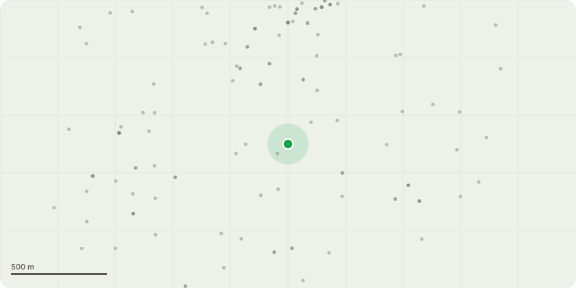
Approximate location
Proposal
The development is a 354kW rooftop solar PV on the (now formerly) Homebase building in the St. John's shopping center. This solar PV will supply roughly half of the retail store's on-site demand, thus increasing its energy security and reducing load on the grid. In addition, all excess energy will be exported through the grid, thus increasing the grid's stability and providing clean energy to the local GSP. This application takes into account the full, usable area roof of the building within the most stringent health and safety requirements including access and maintenance, providing secure, resilient energy generation with discreet siting, low profile, and minimal visual or acoustic impact.
Key dates
- Received 22 Jul 2025
- Validated 22 Jul 2025
- Started 22 Jul 2025
- Decided 14 Aug 2025
Planning history / related applications
No related planning applications have been identified in the current public OGL dataset.
Inside plotEdge
Go beyond the public record
This page is the public OGL record. plotEdge adds the private intelligence layer for this site - open it in the app to unlock:
- Ownership & title Registered owner and title from HM Land Registry.
- Viability & build potential Site scoring and development upside.
- Constraints Flood risk, green belt, conservation areas and designations.
- Approval signal Planning risk and approval-likelihood analysis.
- Comparable applications Decisions on similar nearby sites, side by side.
- Status alerts Get notified the moment this application changes.
Source: public planning application data from Wolverhampton, reused under the Open Government Licence v3.0. View the council source record. Council documents and drawings are not republished on plotEdge.